How to Interpret Trail Maintenance Tags and What They Mean for Riders
Just when you think you know the trail, a flash of color changes everything—discover what each tag truly means for your ride.
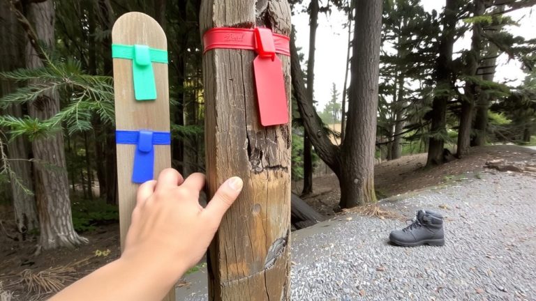
Just when you think you know the trail, a flash of color changes everything—discover what each tag truly means for your ride.
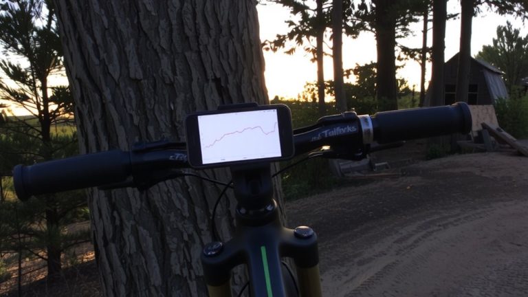
See how Trailforks Pro tracks distance, elevation gain, and average speed with color-coded (red/blue) speed overlays, segment comparisons, and Garmin Edge 530/830 jump metrics. Read the breakdown.
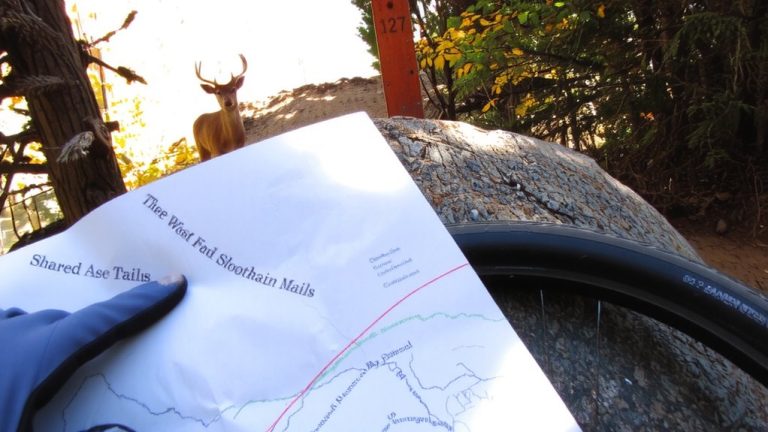
Look beyond the usual paths to uncover hidden multi-use trails where mountain bikes thrive—discover how to find them in national parks.

Trees that seem sturdy may hide deadly dangers—discover what makes fall foliage trails far riskier than they appear.
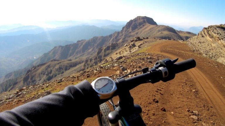
Tracking elevation on mountain bikes? See how barometric altimeters outperform GPS under trees—and why one key trick cuts errors by 20%.
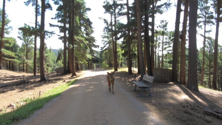
Markers, manageable climbs, and mindful details make a trail truly welcoming—discover what else defines a beginner-friendly path.
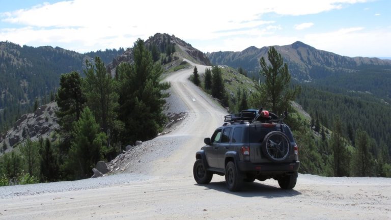
To master your mountain bike route with shuttle access, start by mapping legal trailheads and seamless transfer points—then discover how pro-level planning turns rugged miles into pure flow.
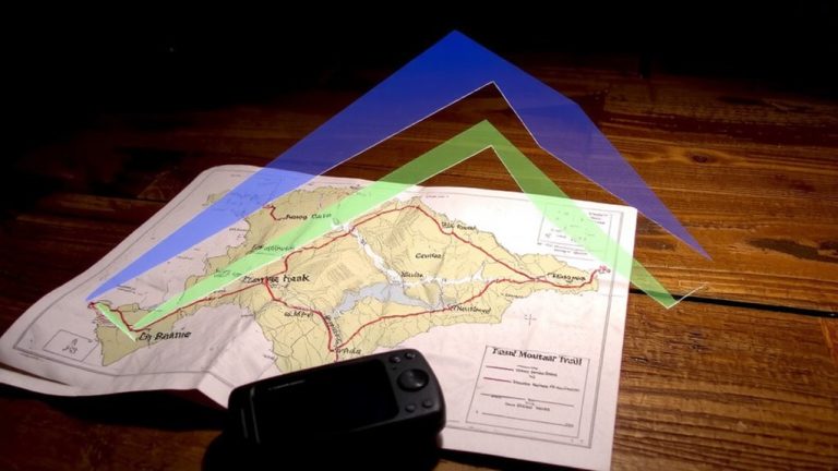
Nearly every trail detail matters when reconstructing lost GPS routes—discover how track logs and smart tools restore your ride with surprising precision.

Keep your tires light—high humidity turns clay trails into slick traps long before rain ever falls.

Trail secrets hide in plain sight—discover how faded maps, local whispers, and satellite scars lead to rides nobody’s talking about.