What Mountain Bike Trail Symbols Mean on USFS Maps
Use USFS trail symbols to decode ride difficulty—but what hides beyond the map’s ink could change everything. Always check updated MVUMs before you roll.
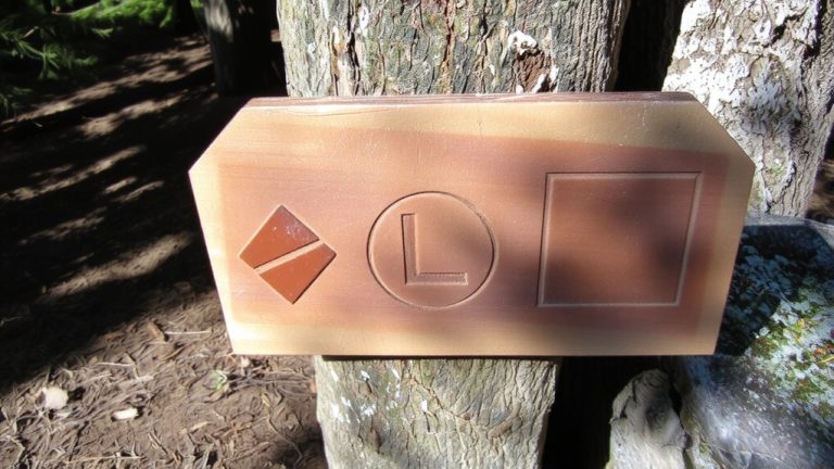
Use USFS trail symbols to decode ride difficulty—but what hides beyond the map’s ink could change everything. Always check updated MVUMs before you roll.
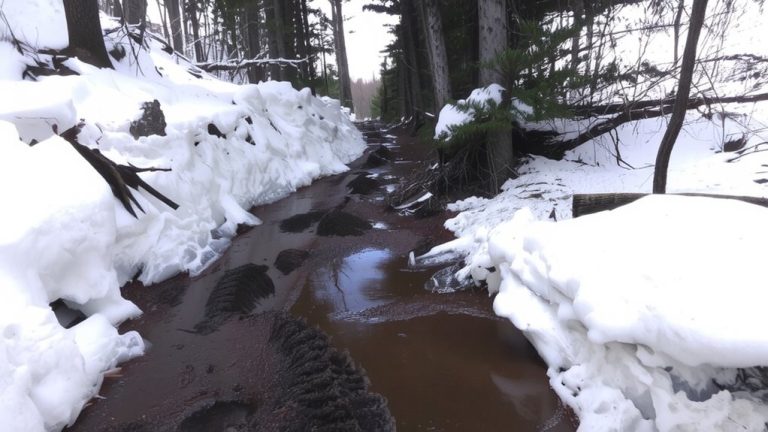
Leave your boots at the trailhead—learn how thawing paths turn treacherous and what to do when the ground can’t hold you.
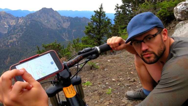
Compare Trailforks (80,000+ trails), MTB Project’s free 50,000+ vetted U.S. routes, Komoot’s voice navigation, and onX Backcountry’s land boundary maps. Find your best offline fit.
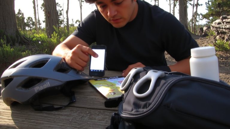
Never underestimate the power of local knowledge—join cycling forums to unlock secret trails, then discover how trusted connections reveal what maps won’t show.
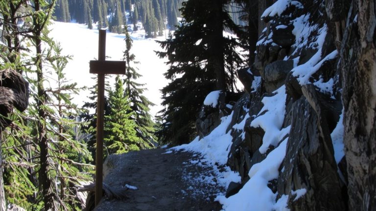
A single wrong turn could leave you stranded—discover how each ski trail rating escalates in danger and skill required.
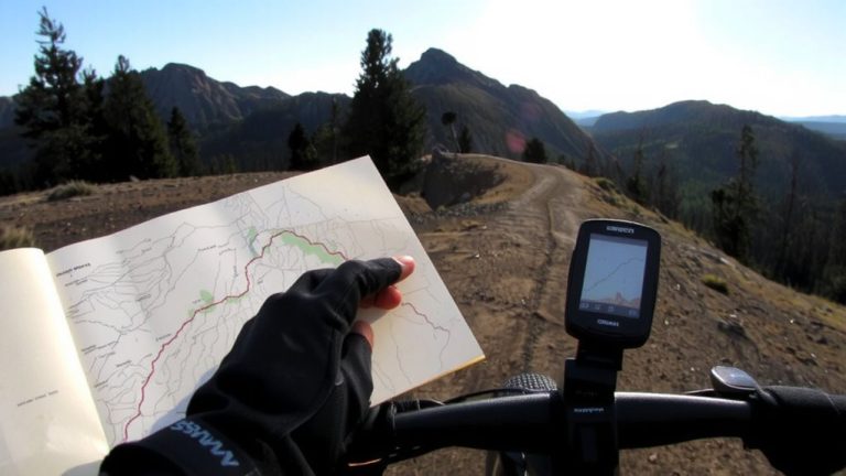
Master your next backcountry ride with Gaia GPS—discover how elite riders plan farther, safer adventures using offline maps and real-time trail intelligence.
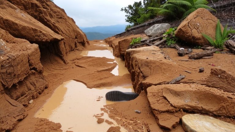
Wet trails after heavy rain hide a sticky trap that can ruin the ride—and the landscape—faster than you think.
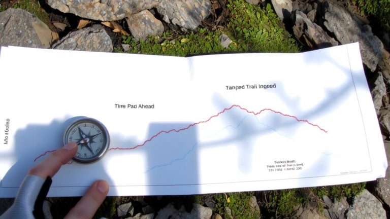
Contour lines reveal hidden trail challenges—discover how steep climbs and sneaky gullies could make or break your ride.
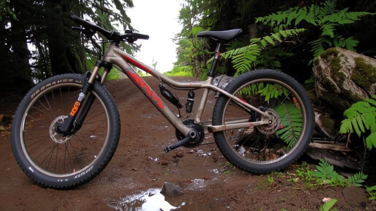
For spring rides, forget dry conditions—muddy trails demand smart prep, the right gear, and knowing when to wait.