What to Look for in a Trail Description: Jumps, Drops, and Switchbacks
Uncover hidden trail dangers—learn what jump landings, drops, and switchbacks reveal before you ride.
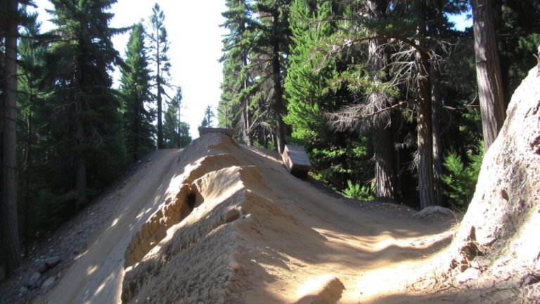
Uncover hidden trail dangers—learn what jump landings, drops, and switchbacks reveal before you ride.
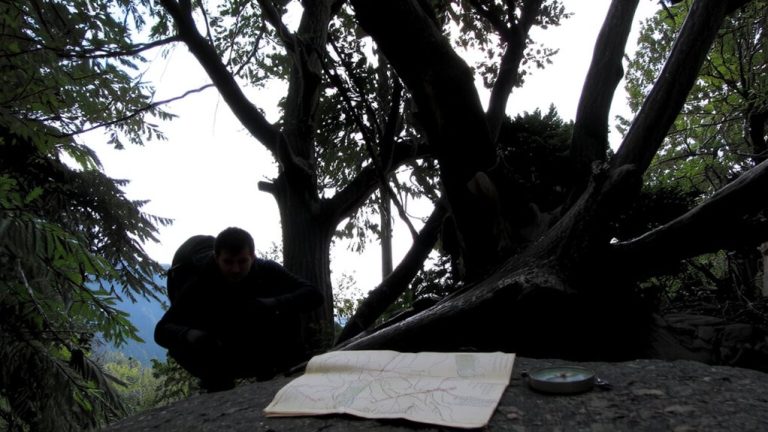
Poor GPS? Pack a map, compass, and this one trick to stay on course—discover how to navigate dense forests with unshakable accuracy.
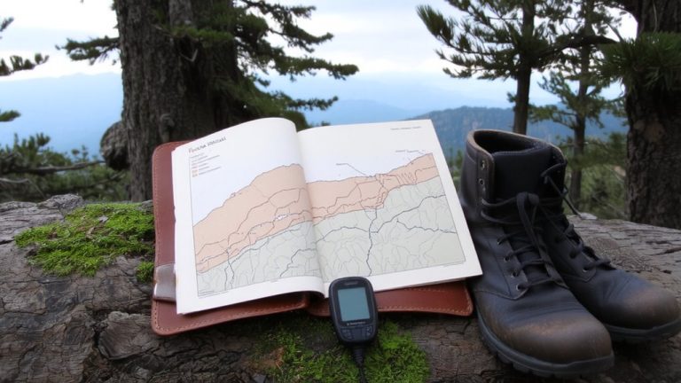
A single chart could save your ride abroad—discover how the ITRS system ensures you’re ready for the world’s most demanding trails.
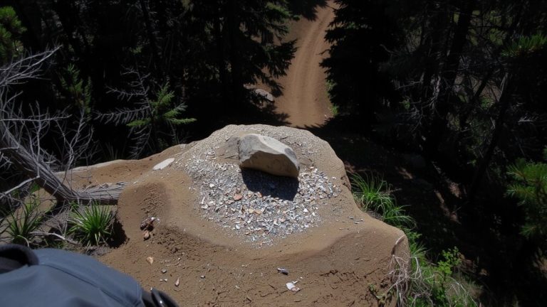
Spot dirt clearings, tree-line breaks, and faint paths using Google Maps Satellite View, then confirm entrances with the Measure distance tool (30-50 ft from roads). Try the method now.
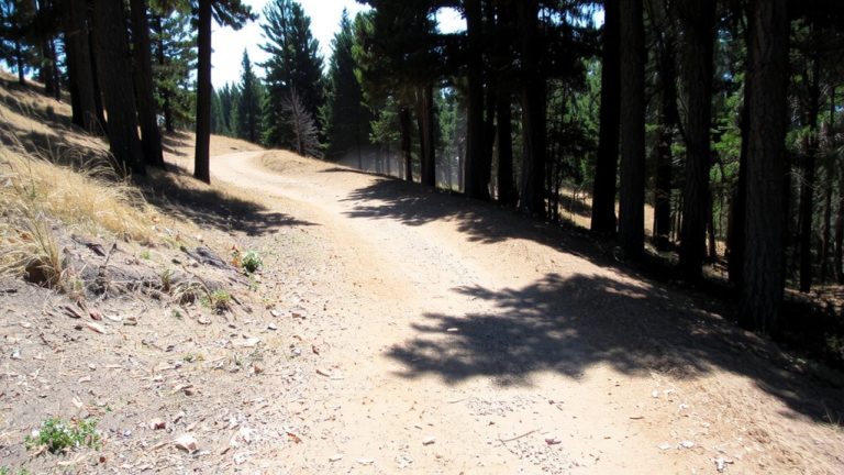
No mud, no sweat—just crisp air and firm trails that reveal why late spring is the secret peak for outdoor adventures. There’s more to discover about timing your next ride just right.
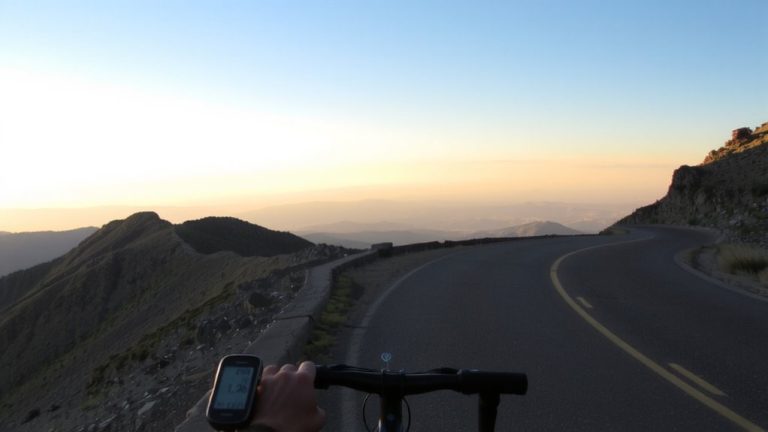
Just how steep is that trail? Uncover the simple math that reveals ride difficulty—and why your next climb might take twice as long as expected.
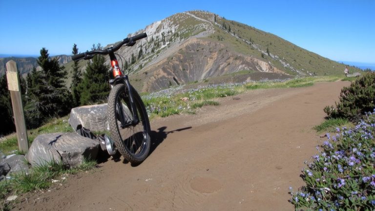
Dry trails: biking and hiking erode about the same (0.11 tons/acre). Sustainable design cuts erosion up to 99%. See what really causes trail damage.
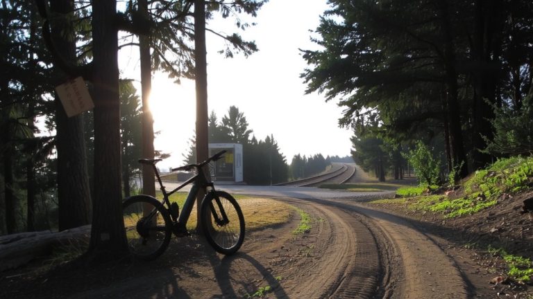
No need for a car—discover how public transit unlocks thousands of mountain bike trails, with tools and tips that reveal the best drop-offs and real-time access.
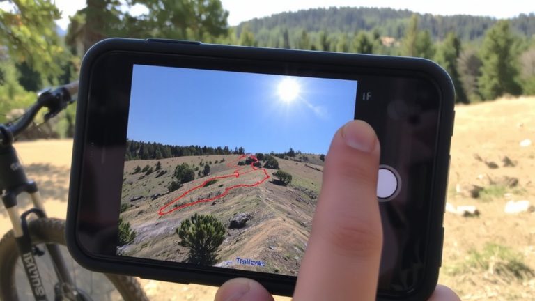
Step-by-step guide to Trailforks’ Trail Style menu: enable green/blue/black difficulty colors and filter by Mountain Bike, Hike, or Winter activity layers. Read the walkthrough.
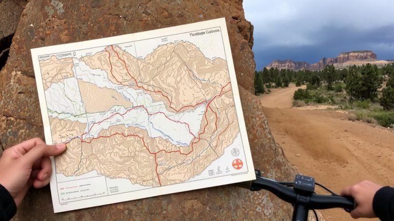
Avoid deadly washes and surprise floods—discover the smartest way to plot your monsoon-season ride in the Southwest. The safest trails aren’t where you’d expect.