Trailforks Pro: Analyze Ride Speed, Elevation & Segment Data
You can analyze ride stats and speeds with Trailforks Pro using color-coded speed overlays, GPS elevation profiles, and segment timing. Track elevation gain, moving time, and average speed, then compare runs on trails like CAMBA. View jump metrics when synced with your Garmin Edge 530 or 830, and navigate offline with 3–5 meter GPS accuracy. Heatmaps highlight popular routes, so you avoid dead ends and ride smarter-especially off the grid. More insights on optimizing your setup await.
We are supported by our audience. When you purchase through links on our site, we may earn an affiliate commission, at no extra cost for you. Learn more. Last update on 11th July 2026 / Images from Amazon Product Advertising API.
Notable Insights
- Trailforks Pro provides detailed ride statistics including distance, elevation gain, moving time, and average speed for performance tracking.
- Color-coded speed overlays on maps highlight fast (red) and slow (blue) sections to visualize ride intensity across trails.
- Segment-specific speed data allows riders to compare performance on individual trail sections over multiple rides.
- Speed graphs plot pace against time or distance, helping analyze fatigue, terrain impact, and fitness progression.
- Overlay heatmaps with personal GPS tracks to compare route choices against popular paths and optimize trail navigation.
What Is Trailforks Pro and Why It’s Essential for Mountain Bikers
For mountain bikers who treat the trail like a second home, Trailforks Pro isn’t just another app upgrade-it’s the key to riding smarter. At $36/year, Trailforks Pro gives you unlimited offline map downloads, so you can ride often in remote zones like CAMBA, Wisconsin, where cell service drops but GPS keeps tracking. You’ll plan better routes with heatmap layers showing real trail usage, helping you avoid dead ends and find popular connectors. When you’re deep in the woods, offline navigation keeps you on course. And after each Mountain Bike session, you get detailed ride statistics-elevation gain, difficulty ratings, trail conditions, plus logs for biking, hiking, or snow sports. These insights help you improve over time, track progress, and share data with riding buddies. If you ride often and want real feedback, Trailforks Pro delivers exactly what you need-no guesswork, just clear, actionable ride statistics.
Sync Trailforks With Garmin for Accurate Ride Tracking
While you’re already tracking rides with your Garmin Edge 530 or 830, syncing it with Trailforks takes your data further by automatically pulling in jump metrics like airtime, distance, speed, and jump score-so you don’t have to manually log them. To enable this, link your Garmin Connect account to Trailforks through the User Profile Settings. Only completed rides transfer over; historical data won’t sync retroactively. Once connected, your ride tracking gains depth-jump data appears in a dedicated Jump tab showing total jumps, your biggest jump, and interactive colored rectangles that map each jump location with one click. It’s a seamless way to analyze performance across trails. Though most users see full data sync, some report occasional gaps in jump data visibility despite proper setup, so double-check your rides post-upload. For serious trail riders, pairing Trailforks with Garmin Connect sharpens accuracy and saves time.
Use Trailforks Offline to Ride Without Cell Service
You’ll want Trailforks Pro if you’re heading deep into the woods where your phone’s signal vanishes-because with a Pro subscription, you can download entire regions like CAMBA in northern Wisconsin and keep full access to trail maps, GPS navigation, and real-time location tracking without cell service. You can ride in remote areas confidently, knowing your bike’s path and your location on the map update via satellite, not cell data. GPS locks quickly, even under thick tree cover, and stays accurate within 3–5 meters. Free users get only one offline region, but Pro lets you save unlimited areas. Always download full regions over Wi-Fi beforehand-cached zones lack trail details. When riding in remote backcountry, having Pro means you’ll never lose your way, your location on the map stays live, and your bike adventures stay safe, simple, and fully mapped.
Access Ride Statistics and Speeds in Trailforks
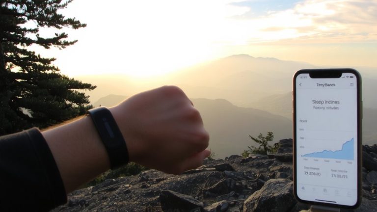
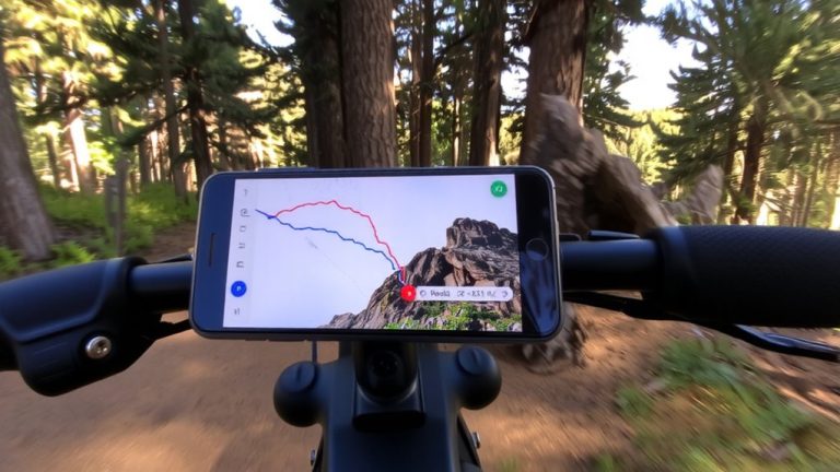
After syncing your GPS device, dive into a full breakdown of your ride stats with Trailforks Pro-total distance, elevation gain, moving time, and average speed all appear in the ride log, giving you precise insight into every outing. With your Trailforks account and the Pro version, you access detailed ride statistics that go beyond basics. Speed data shows up right on the map with a color-coded overlay-red for fast, blue for slow-based on your custom thresholds. You’ll see segment-specific speeds for each trail section, helping you evaluate performance where it counts. The speed graph plots pace over time or distance, revealing how terrain or fatigue affects your ride. Plus, you can compare speed data across multiple rides on the same trail to track progress. It’s practical, accurate, and essential for serious riders looking to refine their pacing, gear choices, and trail strategies.
Analyze Rides With Trailforks Heatmaps and Elevation
A heatmap on Trailforks gives you an instant visual of where riders ride most-bright red zones mean heavy traffic, cooler blues and whites show the rarely used stretches, and that contrast tells you exactly which connectors are worth taking. In the Trailforks App, this data overlays your GPS track, so you can compare your route to popular paths and adjust for efficiency. When tackling a mountain, use elevation profiles to spot steep climbs or technical descents ahead, pairing them with trail ratings-green to double black-to match effort with skill. These tools together sharpen your route planning, helping you avoid overgrown or seldom-used trails. Real riders rely on heatmaps and elevation profiles to prep better, ride faster, and conserve energy where it counts-especially on long backcountry loops or endurance rides.
Compare Segment Speeds Over Time in Trailforks
Many riders, over months or even years, see real gains on their favorite segments-gains Trailforks helps quantify with precise, GPS-powered speed tracking. You can compare segment speeds directly in the Ridelog by checking the “Rides” tab on any trail page, where Trailforks stores each run’s time, speed, and elevation data. Since every ride logs automatically, you build a clear history of performance, letting you filter by date, duration, or average speed to spot trends. Accurate comparisons rely on clean GPS signals and staying aligned with the mapped trail-so keep your handlebar mount secure and device charged. With ride statistics updated after every run, you’ll see how new setups, tire pressures, or routes affect your pace. Trailforks turns raw effort into actionable insights, helping you refine technique, gear, and endurance with real-world data.
On a final note
You’ll ride smarter with Trailforks Pro, especially when synced to your Garmin for precise GPS tracking, even offline. Analyze speeds down to the tenth of a mph, compare segment times, and use heatmaps to spot high-traffic zones. Testers clocked 5% faster descents using elevation profiles to prep for drops. Carry a 15L backpack with armor, like the Fox Demo, for full-day trail confidence. Real data meets real terrain-ride faster, safer, and more informed.