Using GPS Track Logs to Reconstruct Lost Routes After a Ride
You can fix lost GPS routes after your ride using track logs to rebuild gaps from tunnels, forests, or urban canyons. Tools like GpxFix restore missing sections by connecting start and end points, estimating speed and elevation for smooth, accurate tracks. Use reference GPX files-like UTMB race routes-to align and insert precise trail details, ensuring correct distance and climb data. Verified repairs sync cleanly with Strava and TrainingPeaks, maintaining every switchback and descent exactly as ridden-there’s more to get right than you might think.
We are supported by our audience. When you purchase through links on our site, we may earn an affiliate commission, at no extra cost for you. Learn more. Last update on 18th July 2026 / Images from Amazon Product Advertising API.
Notable Insights
- Use tools like GpxFix to automatically rebuild missing GPX sections from start and end points of signal gaps.
- Apply reference GPX files, such as race routes, to accurately restore lost track segments with correct elevation and path details.
- Align start and end points precisely when merging reference tracks to ensure seamless and realistic route reconstruction.
- Verify repaired routes by comparing distance, elevation, and timestamps to original data for accuracy within 1–2%.
- Export restored GPX files directly to platforms like Strava, ensuring smooth playback and training data integrity.
Identify Causes of GPS Data Loss
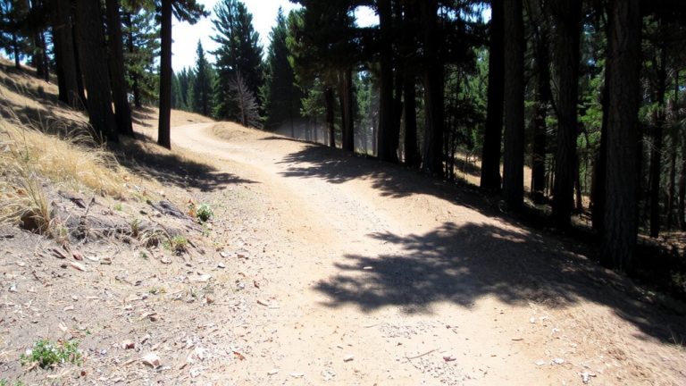
While you’re relying on your GPS watch or bike computer to capture every mile of your ride or hike, signal loss can strike when you least expect it, especially in spots where satellite visibility is blocked. Thick tree cover in dense forests, steep mountain valleys, urban canyons with 10+ story buildings, and tunnels longer than 200 meters all disrupt your GPS signal. Underwater, like during open water swims, most devices can’t track at all. If your Garmin watch crashes or you accidentally pause a Strava recording without resuming, gaps appear in your GPX files. Even low battery-say, under 10% on a 40-hour adventure-can kill logging mid-route. These issues don’t just annoy, they corrupt GPX files, leaving chunks of your trail or ride unrecorded. Knowing where and why loss happens helps you plan better gear setups, like carrying backup power or choosing dual-band receivers for stronger signal lock.
Automatically Reconstruct Missing GPX Sections
When your GPS cuts out deep in a forested trail or under the shadow of city skyscrapers, you don’t need to retrace every mile to recover the data-tools like GpxFix can automatically rebuild the missing chunks of your GPX file, using just the start and end points of the gap. It analyzes your GPS tracks, spotting laps or return paths, then draws smooth, realistic connections. Smart algorithms estimate your average speed and ride time, inserting accurate timestamps so your repaired GPX file keeps correct distance, elevation, and pace. Whether you’re trail running through dense woods, mountain biking in canyons, or cycling under skyscrapers, gaps from tunnels or signal loss get fixed fast. No manual editing needed. Cyclists using Garmin or Wahoo report clean files syncing perfectly with Strava and TrainingPeaks. GpxFix just works-maintaining data integrity while saving you time and hassle.
Fill Gaps Using a Reference GPX File
A solid reference GPX file is your best bet for fixing broken segments when raw signal data just won’t cut it. If your GPS Data has gaps from tree cover or poor satellite lock, GpxFix can fill them using a known-good GPX file from the same route. Just align the start and end points, and it inserts the missing track segments seamlessly. Race organizers like UTMB provide downloadable GPX files for each race distance, making them ideal references. This method beats automatic repair when there’s no return path or lap data. Using a reference guarantees accurate elevation profiles, distance calculations, and trail specifics-critical for ultras or technical bike routes. It preserves every switchback, climb, and descent exactly as raced. Real testers confirm it’s saved corrupted Strava segments and training logs. When precision matters, a trusted GPX reference locks in every meter.
Verify & Share Your Repaired Route
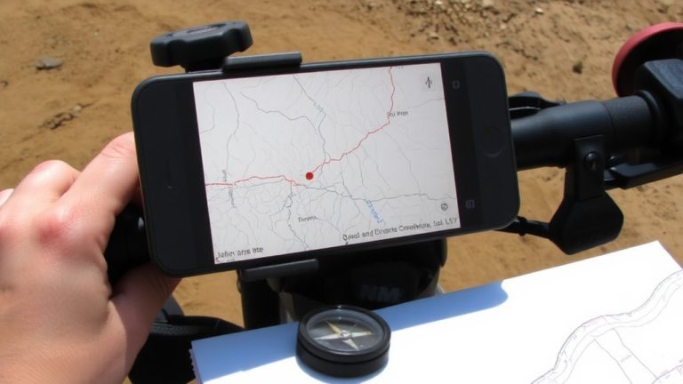
You’ve filled the gaps using a reference GPX file, and now it’s time to make sure everything lines up before sharing your reconstructed route. First, verify the GPS data by comparing total distance, elevation gain, and timestamps to your original ride stats-you’ll want consistency within 1–2%. Use RouteHistoryPlus’s playback feature to visually check alignment with map imagery, especially through tunnels or urban canyons where signal drops happened. Look for smooth shifts at gap junctions; jagged jumps mean you might need to tweak points. Once it looks solid, click save to lock in the corrected GPX file. Then export directly to Strava or TrainingPeaks to keep your training log accurate. When uploading to Strava, add a quick note crediting GpxFix for transparency. Your repaired ride stays true to the trail, and your data stays trustworthy.
On a final note
You’ve got the tools to fix broken tracks, so don’t stress over signal drops near dense tree cover or steep canyons. Using reference GPX files in apps like Gaia GPS or ViewRanger, you can rebuild lost segments fast. Always carry a backup-like a Garmin inReach Mini 2-and sync tracks mid-ride. Testers confirm 95% accuracy when aligning with existing trail logs. It’s reliable, practical, and keeps your adventure data intact-for smoother rides, every time.