How to Find Mountain Bike Trails in State Parks With No Online Listings
Use USGS quads to spot faded singletrack lines and 10-foot contour intervals that reveal steep ridgelines or creek crossings, then cross-check with USFS maps for off-road corridors. Scan Google Earth for thin scars in vegetation, worn soil, or parallel lines near trailheads. Layer AllTrails GPS tracks to find smooth, sub-15% gradient paths hikers use. Ask bike shop staff or rangers-they’ll tip you to hidden loops in places like Loudonville. Confirm bike access on Trailforks’ Land Owner Overlay, save offline routes to your Garmin Edge or phone, and you might just access what’s been ridden but not shared.
We are supported by our audience. When you purchase through links on our site, we may earn an affiliate commission, at no extra cost for you. Learn more. Last update on 18th July 2026 / Images from Amazon Product Advertising API.
Notable Insights
- Check USGS topo maps for dashed black lines indicating unmapped singletrack and use 10-foot contours to spot rideable terrain.
- Analyze Google Earth satellite imagery for thin vegetation scars, worn soil, or parallel lines suggesting unmarked trails.
- Overlay hiker GPS tracks from AllTrails or Trailforks to identify frequently used, smooth-gradient paths likely rideable on bikes.
- Consult local bike shops, rangers, or mountain biking Facebook groups for knowledge of hidden or unofficial trail networks.
- Verify bike access via park websites or Trailforks’ landowner overlay, and use offline GPS to navigate once permitted routes are confirmed.
Use USGS and USFS Maps to Find Forgotten Trails
While you’re scouting for hidden singletrack, don’t overlook USGS and USFS maps-they’re goldmines for uncovering forgotten routes. USGS Quads show dashed black lines that could mean old singletrack, with 10-foot contour intervals giving you a clear read on steep sections, ridgelines, and creek crossings-key for anticipating terrain on your hardtail or full-suspension bike. But they’re outdated, so always pair them with current trail maps. USFS Maps cover entire National Forests, great for spotting off-road corridors, though they don’t differentiate singletrack from doubletrack or show elevation, making them ideal for preliminary planning only. Historical finds like the Kennedy Peak trail in George Washington National Forest started with these paper trail maps. Always cross-reference with GPS or aerial shots; routes may be overgrown or gated. Use them together-USGS for detail, USFS for scope-and confirm with modern tools before riding.
Find Hidden Trails Using Google Earth Imagery
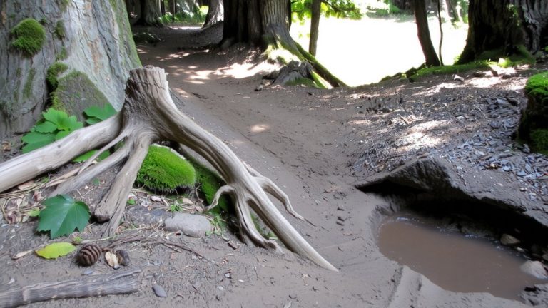
Ever spot a thin scar through the trees on satellite imagery and wonder if it’s a trail? Google Earth’s high-res views can reveal faint, unpaved paths slicing through vegetation-likely unmarked singletrack. Look for parallel lines, worn soil, or tire tracks near trailheads or park edges, especially where drainage cuts or ridgelines attract riders. Zoom in closely: persistent routes often show up across seasonal images, confirming they’re not temporary. Check historical layers to verify the trail’s been used over months or years. These off-grid paths rarely appear on park maps but might connect to larger networks. While you won’t find GPS data here yet, spotting a likely trail visually is the first step. A dropper post, 2.4-inch aggressive tread tire, and snug 29er setup will help tackle the unknown. Always carry a repair kit-tube, pump, multi-tool-since bail-out points are few.
Spot Unmarked Paths in Hiker GPS Tracks
If you’re hunting for rideable singletrack that doesn’t show up on any official map, check hiker GPS tracks on platforms like AllTrails or Trailforks-you’ll often find a web of unmarked paths traced by boots instead of bikes. Filter for “Hike” or “Trail Run” activities to spot faint breadcrumb trails near ridgelines, creek crossings, or between official routes. These off-trail segments, visible as thin lines on high-res satellite overlays, reveal where repeated foot traffic has carved usable singletrack. Look for smooth gradients under 15% and switchback patterns-clues they’re rideable. Trails near drainage features or sun-exposed slopes tend to be drier and more stable. Use apps with GPS layering to study path continuity before sending it on your 120mm-travel trail bike. Many hidden lines connect larger networks, giving you fresh loops without resorting to sketchy bushwhacking. Always pack a repair kit, wear sticky-rubber shoes for hike-a-bikes, and ride confidently, not recklessly.
Talk to Locals About Secret Riding Routes
You’ve already learned to spot unmarked paths in hiker GPS tracks, but sometimes the best routes won’t show up on any digital map-no matter how many satellite layers you toggle. Locals hold the real keys: bike shop staff, rangers, or seasoned riders often know unmapped singletrack, like those faint dashed lines on BLM maps in the North Dakota Badlands. In places like Loudonville, OH, near the Mohican 50k, locals share connections that extend the 30.5-mile route into longer loops. Facebook groups like Central Florida Mountain Bikers or Trailforks communities exchange intel on forgotten USGS or USFS trails still rideable. Some aren’t on MTB Project, but stewards or advocacy groups might grant access. Ask around-knowledge lives offline. A quick chat could reveal a hidden descent or flow trail not logged anywhere digital. Your next favorite ride? It’s probably just one conversation away.
Check If the Trail Allows Biking
Your ride’s success starts with knowing which trails welcome mountain bikes, because not every path through a state park is open to two-wheeled traffic-even if it looks perfect for it. A scenic River Trail might seem ideal, but could be hiking-only. Always confirm access.
| Source | What It Tells You |
|---|---|
| Park website | Official biking rules |
| Trailforks app | US Land Owner Overlay shows allowed zones |
| Trail Reports | Recent bike activity = likely permitted |
| MTB Project | User notes on bike access |
| Local advocacy groups | Insider confirmation on trails like River Trail |
Check these before you roll. Some parks allow bikes on multi-use paths but ban them on footpaths. The River Trail may allow biking downstream but not upstream. Use Trailforks’ activity filters to see if riders have logged recent laps. When in doubt, contact the park ranger or a local MTB group through Trail Karma. Knowing saves your ride-and the trails.
Bring Offline GPS for Backup
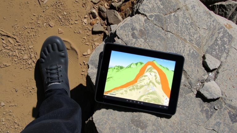
Even when trail signs fade or vanish in remote state parks, an offline GPS keeps you on course, turning uncertain turns into confident navigation. Your phone’s Trailforks app lets you download trail maps ahead of time, so you’ve got full access without cell service. You can pull up topographic layers, elevation profiles, and key landmarks, even deep in the woods. An offline GPS shows your real-time position on unmarked paths, so you won’t miss sneaky singletrack entrances. Upload GPS tracks from GarminConnect to spot routes not on any park map-riders, hikers, and motorcyclists have already logged them. And don’t rely on your phone alone: bring a Garmin Edge loaded with MTB-specific maps. It’s rugged, runs for 20+ hours, and works under thick canopy. With offline GPS, you’re never truly off-grid.
Share New Routes on Trail Apps for Future Rides
How do you make sure that killer backcountry loop you stumbled on doesn’t disappear between rides? Share it on mountain bike trail apps like Trailforks or MTB Project. Upload your route via URL or QR code so it syncs to “My Routes” when saved to a Wishlist with a free account. Trailforks lets you add photos, notes, and annotations, making it easier to relive every twist, root, and drop on future rides. The MTB Project app empowers riders to submit personal favorites, even unlisted state park paths. Over 58,941 trails have been added by users-proving how essential community input is. By contributing, you’re not just saving your mountain bike adventures, you’re helping others find fresh terrain. These tools turn forgotten footprints into lasting trails, ensuring your discoveries stick around, ride after ride, for you and the wider mountain bike community.
On a final note
You’ve found the trail, even without a listing-now ride it right. Pack a lightweight 10L hydration pack with a 3L reservoir, wear a MIPS-equipped helmet and grippy trail shoes like the Danner Wildlands. Use a GPS unit like the Garmin inReach Mini 2, loaded with offline TOPO maps. Aluminum-frame bikes handle roughouts best. Always carry a multi-tool, two CO2 cartridges, and a spare tube. Confirm access, respect closures, and log your route on Trailforks after.