How to Use Rainfall Data to Predict Trail Drying Times
Go beyond forecasts: discover how satellite rainfall data reveals when trails dry—and why some stay muddy no matter what.
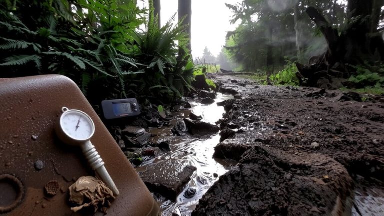
Go beyond forecasts: discover how satellite rainfall data reveals when trails dry—and why some stay muddy no matter what.
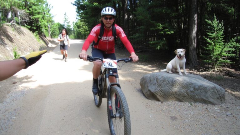
Don’t assume trail rights—discover the unwritten rules that keep shared paths safe, sustainable, and open to all users.
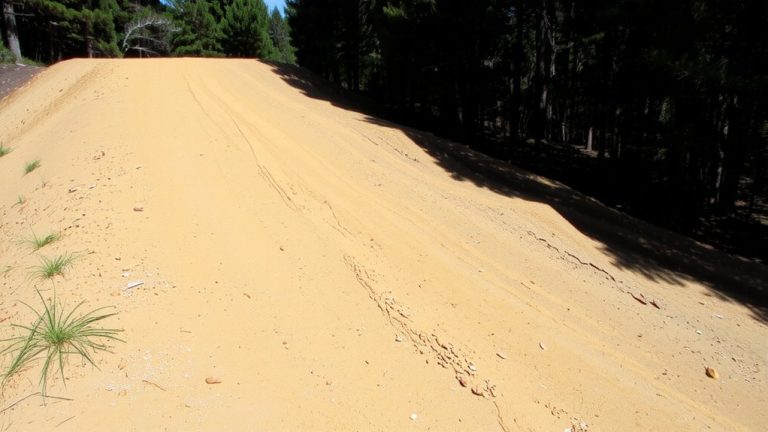
Search Trailforks ‘flow’ and ‘dirt jumps’ tags to locate 4-ft berms and 12-inch rollers spaced 3-5 feet apart. Learn the specs and start scouting flow trails today.
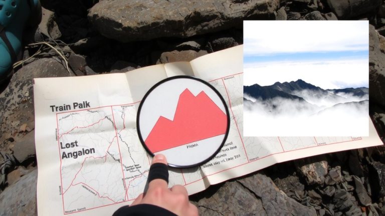
Gain the edge on hidden climbs—elevation profiles reveal what maps hide, and the steepest surprise might be just around the bend.
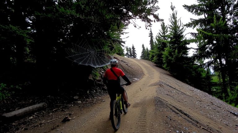
Keep your back to the wind climbing up, let it pull you down—nature’s rhythm holds the key to silent, efficient movement.
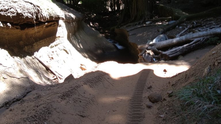
Check spring trails for hidden damage—cross-slope drainage tricks you, but one wrong ride can ruin your wheels and the path forever.
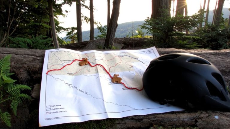
Discover how to dodge hunting season dangers with smart trail timing, blazing visibility, and hidden route hacks that could save your ride.
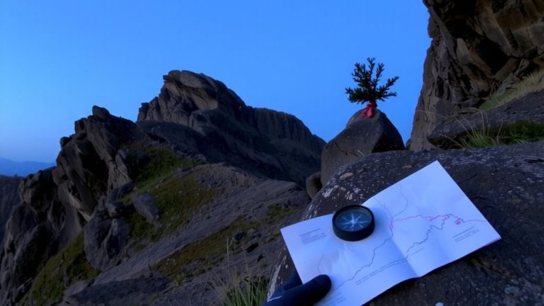
Lost the trail past mile 1.5? Use a compass bearing, GPS watch (Fenix 7, Suunto 9 Peak) and apps like Organic Maps or Wikiloc to relocate the route safely. Read the steps.
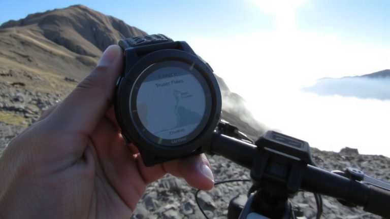
Use a rugged GPS watch to conquer long alpine routes—discover how elite navigation tech keeps you on track when the trail disappears.
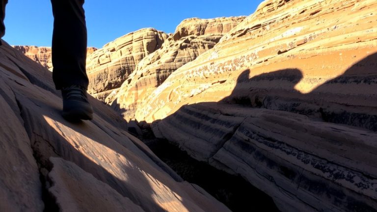
Trail descriptions hold the key to spotting slickrock and hidden ledges—knowing the signs means the difference between steady footing and a risky misstep.