How to Find Mountain Bike Trails Accessible by Public Transit
You can reach over 838,000 mountain bike trails using public transit when you combine tools like Strava and Komoot, which offer offline maps and night-ride filters for safer routing, with services like Backyard Funfinder and Transit-to-Parks that pinpoint trailheads within a 10-minute walk of bus stops. Use fare-free shuttles such as Acadia’s Island Explorer or Green Mountain Transit route 108 to drop near singletrack, while apps like Trailforks and local rider groups verify access in real time-keep checking, and you’ll uncover smarter ways to link transit, trails, and gear.
We are supported by our audience. When you purchase through links on our site, we may earn an affiliate commission, at no extra cost for you. Learn more. Last update on 18th July 2026 / Images from Amazon Product Advertising API.
Notable Insights
- Use transit-integrated trail maps like Backyard Funfinder or Transit-to-Parks to locate trails within 10 minutes of bus or train stops.
- Leverage Strava and Komoot to plan rides with transit access, using heatmaps and offline maps synced with public schedules.
- Ride regional shuttles such as Green Mountain Transit or On-It, which offer seasonal, bike-friendly links to key trailheads.
- Access national parks via free shuttles like Acadia’s Island Explorer or Glacier’s Mountain Line, all equipped with bike racks.
- Confirm trail access offline using apps like Trailforks or MTB Project, and check local rider groups for real-time updates.
Find Mountain Bike Trails Near Transit Lines
If you’re looking to skip the drive and get straight to the singletrack, plenty of tools can help you find mountain bike trails near transit lines without guessing. King County’s Backyard Funfinder overlays transit stops with bike trails, so you can spot trailheads within a 10-minute walk of a bus stop. The Transit-to-Parks (T2P) map covers accessible bike trails across the U.S. and Canada, using real transit schedules to match routes. BART lets you bring your bike on every train, putting Lake Chabot’s 18-mile loop just 2 miles from San Leandro station. OffMetro details exact connections-like bus line 27 to North Creek Trail-while Capn Transit’s spreadsheet pinpoints trail access from NJ Transit and Metro-North, including gear-friendly routes with bike racks and low-peak crowding.
Use Strava and Komoot for Car-Free Ride Planning
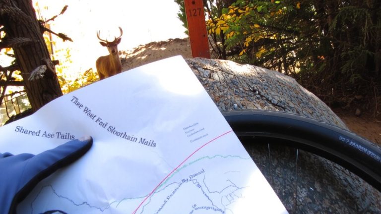
You’ve found the trailheads near transit stops using tools like Backyard Funfinder and Transit-to-Parks, now it’s time to map your ride with apps that work seamlessly for car-free adventures. Strava’s route creator lets you filter by activity type and night rides, so you can plan safe, well-trafficked mountain bike routes. Its heatmap shows where others ride, helping you pick reliable Trail Maps near transit. Komoot adds value by integrating public transit schedules and walking directions, linking train stations directly to trail access. You’ll need to buy region-specific or global map packages in Komoot for detailed offline planning, but it’s worth it for remote trailheads. Both Strava and Komoot let you download Trail Maps for offline use, ensuring navigation stays solid without cell service. Bring a compact GPS unit or phone mount, and rely on accurate Trail Maps to start your ride right-no car needed.
Check Bike-Friendly Shuttles to Trailheads
While not every trailhead sits next to a bus stop, bike-friendly shuttles are expanding access to remote trail networks without requiring a car. You’ll find reliable options like Vermont’s Green Mountain Transit route 108, a fare-free, seasonal shuttle running from late November to April that links Stowe Village to key trailheads. In Alaska, the Flattop Mountain Shuttle offers private, seasonal service from late May to August, connecting Whittier to Chugach State Park with bike rentals available. The Ice Age Trail Alliance runs a donation-based, volunteer-operated shuttle along Wisconsin’s Ice Age National Scenic Trail. In Alberta, On-It shuttles run weekends and holidays to Canmore from Banff. Michigan’s Alger Transit also provides a May–October backpacker shuttle with reservations for Pictured Rocks trailheads. These bike-friendly shuttles cut drive time, ease parking stress, and get you rolling faster, so check schedules, pack light, and ride in.
Ride Free Transit Shuttles to National Parks
When exploring national parks by bike, you’ll want a reliable way to reach trailheads without driving, and free transit shuttles make that easier than ever. You can hop on a bike-friendly shuttle that drops you near pristine singletrack, alpine climbs, and forested descents-all without a car. Many of these services welcome bikes, with racks or trailers designed for easy loading and secure transport.
| Park Area | Shuttle | Bike Access |
|---|---|---|
| Acadia, ME | Island Explorer | Free, seasonal, full route coverage |
| Glacier, MT | Mountain Line | Fare-free, year-round, trailhead links |
| Denali, AK | Flattop Shuttle | Rentals available, seasonal operation |
Just strap on your helmet, load your hydration pack, and roll onto the trail.
Plan Routes With Offline Trail Apps
With your ride covered by free park shuttles that drop you steps from the trailhead, the next step is knowing exactly where to pedal once you’re there-especially when service disappears deep in the woods or up a remote canyon. Use Trailforks to download offline trail maps for over 838,000 trails worldwide, so you can map to find your way through rugged terrain. MTB Project lets you access 182,008 miles of trails offline, perfect for remote zones like Loudonville, OH. AllTrails gives offline access to bike paths across Europe and beyond, ideal for international trips. Strava’s route planner works offline, with filters for night riding and activity type, highlighting safer, well-used paths. Komoot requires a paid map package, but delivers precise offline navigation for mountain biking. Download your map to find flow before you go-no signal needed.
Confirm Access by Sharing Rides With Locals
If you’re relying on public transit to reach trailheads, connecting with local riders can be your best bet for up-to-date access info, especially where maps fall short. Join groups like White Oak Bayou Greenway Riders on Facebook to swap mountain bike tips and catch group rides near transit stops. You’ll see posts, like Nancy Sherman’s on November 16, 2024, spark 18 comments full of on-the-ground intel. Platforms like Trailforks, with 838,174 trails mapped worldwide, use crowd-sourced feeds to highlight transit-linked trail access. Cross-reference BART stations-like the 2-mile ride from San Leandro BART to Lake Chabot trails-for reliable routes. Check Capn Transit’s NJ/NYC spreadsheet for verified trailhead connections. Local knowledge beats outdated signage; real riders confirm where you can roll your mountain bike legally, safely, and smoothly from train to singletrack.
On a final note
You’ve got this: pack light with a 15L hydration pack, wear a Bell Super 3R helmet and Fox Defend knee pads, and roll on Maxxis Ardent Race tires, 2.4-inch wide, for grip and speed. Trails like Bay Area’s Skyline or near Denver’s RTD lines are reachable, ride-tested, and ready. Use Komoot offline maps, confirm access with local riders, and trust proven gear to save energy, not luck.