How to Navigate Through Dense Forests With Poor GPS Signal
When GPS fails under thick canopy, trust your map and compass-set your Suunto A-10’s declination to local values, like 8° EAST, and use a 1:24,000 topographic map to align your route, taking bearings with the rotating bezel, pacing every 600–700 steps per mile while adjusting for slope, marking trees every 20–30 feet with biodegradable blaze tape, and confirming position using ridgelines or streams; accuracy stays within 9 meters when you combine these tools right.
We are supported by our audience. When you purchase through links on our site, we may earn an affiliate commission, at no extra cost for you. Learn more. Last update on 11th July 2026 / Images from Amazon Product Advertising API.
Notable Insights
- Use a topographic map and baseplate compass to navigate reliably when GPS signals fail in dense forests.
- Adjust your compass for local magnetic declination to ensure accurate bearings aligned with your map.
- Take frequent compass bearings and sight distant landmarks to stay on course under heavy tree cover.
- Count your steps using pace counting, adjusting for terrain, to estimate distance traveled without GPS.
- Mark your path with biodegradable trail tape and use natural features like streams or ridges as guides.
Diagnose GPS Failure in Dense Canopies
When you’re deep in a forest and your GPS starts acting up, it’s usually because the thick canopy above is blocking the sky, cutting off the signal from satellites that your device needs to get a fix. In dense forests, GPS signals struggle to penetrate thick vegetation, causing signal dropout or total GPS failure. Your GPS devices may show position drift up to 30 feet (9 meters) due to weak reception and multipath errors from reflected signals. Studies show recorded trails often deviate wildly-like one hiker’s 49-mile route that inflated due to poor satellite geometry. Devices relying only on GPS, without GLONASS or Galileo support, fail faster. Testers using dual-constellation units on backpacking trips noted better accuracy under heavy tree cover. If your screen freezes or jumps locations, don’t trust it. That’s GPS failure in action-common in dense forests, where thick vegetation kills signal fast.
Navigate With Map and Compass as a Pair
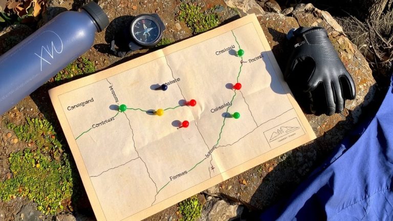
Though GPS might fail under thick forest canopies, you can still navigate confidently by pairing a reliable baseplate compass like the Suunto A-10 with a detailed topographic map, a method tested and trusted by backpackers in low-visibility terrain. Set your compass declination to match local conditions-8° EAST in Denver, for example-so your map and compass align perfectly. Use topographic maps at 1:24,000 scale to spot contour lines, ridges, and streams that help you track movement. Align the compass edge from your current position to your goal, then rotate the bezel so the orienting lines parallel north-south grid lines. This step prepares you for taking bearings accurately. Strong compass skills let you follow a bearing through dense woods, using terrain features as guides. Check progress by triangulating with distant peaks or landmarks. With practice, using a map and compass becomes second nature, even when signals drop.
Take and Hold Accurate Compass Bearings
If you’re relying on a GPS in thick woods, you’re setting yourself up for trouble-instead, master the compass bearing with a tool like the Suunto A-10 or Silva Ranger, both of which feature rotating bezels, clear baseplates, and built-in declination adjustment for fast, accurate readings. When using topographical maps, align your compass baseplate with your route, then rotate the bezel so orienting lines match the map’s north lines. Adjust for magnetic declination-like Denver’s 8° EAST-by subtracting degrees from your bearing or dialing it in directly. Hold steady bearings by sighting distant landmarks through the direction-of-travel line, especially in low visibility. To bypass obstacles, use the 90-degree offset: turn, count steps, then reverse direction after the barrier. These techniques keep your navigation precise. With practice, compass bearings become second nature, making dense forests far less intimidating.
Measure Distance by Counting Your Steps
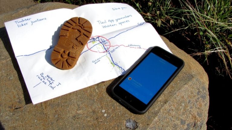
Since GPS can’t always cut through the tree cover, you’ll want to rely on pace counting to track how far you’ve traveled-start by knowing that most hikers take 600 to 700 steps per mile on flat ground, but your exact count depends on stride length, terrain, and pack weight, so calibrate it yourself over 100 meters using a measured trail or a marked football field, noting whether you’re wearing trail runners or full backpacking boots since footwear affects stride, then adjust counts when the trail tilts: reduce by 10–15% going uphill and add 5–10% downhill because your steps shorten on climbs and stretch on descents, and to keep track without losing count, use a simple tool like a Suunto MC-2 ranger’s bead counter or click one mental tally every 100 steps while maintaining your compass bearing, so you’re charting your course by both direction and distance with precision.
Mark Your Trail With Biodegradable Indicators
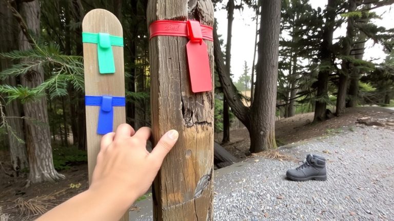
Tie small strips of biodegradable trail tape every 20 to 30 feet to guide your way through thick forest where GPS often fails, using cloth or paper markers that break down naturally so you’re not leaving a trace. Place them at eye level on trees or branches, choosing bright colors like blaze orange or yellow-they’re easy to spot in dim light and help you keep your location clear when maps and GPS struggle under thick canopy. Dense tree cover can reduce GPS accuracy by over 20 feet, and devices drain battery life fast searching for signal. That’s why even a Durable GPS shouldn’t be your only tool. Biodegradable tape lets you mark a reliable route without harming the environment. You can backtrack confidently, especially when your GPS freezes or your phone dies. Unlike permanent marks, these indicators vanish over time, so they won’t disrupt the wilderness.
Use Natural Features to Verify Your Route
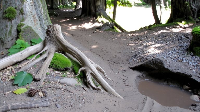
While your GPS might flicker in and out under a dense canopy, you can stay on course by relying on the land itself-natural features like streams, ridgelines, and valleys are more than just scenery, they’re reliable guides that show up clearly on topographic maps and help you confirm your position when signals drop below 20 meters. Use prominent natural features to make navigation easier; features like rivers act as natural catchlines, keeping you oriented. Match what you see-saddles, sharp contour lines, or rock formations-to your topo maps every 10–15 minutes. Take compass bearings on peaks or bluffs to stay accurate. Listen for the steady sound of flowing water or wind funneling through gaps-it helps maintain direction. In the Northern Hemisphere, moss often clusters on the north side of trees, giving you a quick directional check. These features make navigation dependable when tech fails, keeping your route safe and precise.
React When Lost: Emergency Navigation Steps
What do you do when the trail vanishes and your GPS shows no signal? Stop immediately-panic worsens getting lost. Check your topographic map and compass, noting the compass needle’s alignment with magnetic north to determine your bearing. Adjust for declination (e.g., +8° in Denver) to convert magnetic north to true and pinpoint your precise location. GPS jamming or dense canopy may disable signals, so rely on ironclad tools like a Suunto M-3 compass or a Silva Ranger. Retrace steps using biodegradable markers, or aim for a catchline-like a river or trail-using a steady bearing. Sight landmarks, triangulate position, and move deliberately. If disoriented, stay put and signal with three whistle blasts, or use bright gear like a SOL Emergency Bivvy. Staying calm, using real tools, and knowing the difference between magnetic north and true keeps you found.
On a final note
You’ve got this, even when GPS fails. Stick to your map and compass, trust your bearings, and count steps-about 600 per mile on flat terrain. Use biodegradable trail markers, watch for natural landmarks, and carry a Suunto compass and 1:24,000 topo map. If lost, stop, retrace, and regroup. Always pack light but smart: a 40L backpack, Merino wool layers, and a Garmin inReach for backup.