How to Use Rainfall Data to Predict Trail Drying Times
You can predict trail drying times by combining real-time rainfall data from GOES-R satellites with local soil, slope, and canopy cover, using 2 km resolution rain rates and evaporation estimates of up to 5 mm/day, then applying machine learning models like CART or SVM trained on 48-hour precipitation history, elevation, and field-validated conditions, which deliver 95% accuracy-helping you choose the right hiking boots, bike tires, or backpacking gear based on actual trail dampness. Real-world tests reveal shaded, north-facing clay trails stay wet longest, even when models predict dry conditions.
We are supported by our audience. When you purchase through links on our site, we may earn an affiliate commission, at no extra cost for you. Learn more. Last update on 18th July 2026 / Images from Amazon Product Advertising API.
Notable Insights
- Combine satellite rainfall data with ground measurements to improve accuracy of trail wetness estimates.
- Adjust drying time predictions based on soil type, with sandy soils drying faster than clay-heavy trails.
- Account for slope and aspect, as south-facing and steep trails drain and dry more quickly.
- Use canopy cover percentage to modulate evaporation rates, reducing drying speed under dense tree cover.
- Apply machine learning models trained on historical precipitation and field data to forecast drying times accurately.
Estimate How Long Trails Stay Wet After Rain
Ever wonder why some trails are ride-ready the next day while others stay soggy for days? If you’re planning a ride, soil type and sunlight matter-trails in sandy, open areas dry fast, often within 24 hours after 10 mm of rain. But if you’re eyeing a north-facing, clay-heavy trail in a shaded area, expect it to stay wet for 3–5 days, especially after 25 mm. Heavy canopy cover? Trails under 80–90% tree cover stay wet up to 72 hours post-rain. Rain intensity counts too-each extra 5 mm/hr adds ~12 hours of drying time. In sun-baked spots with less than 50 mm monthly rain, trails dry 40% faster. So, pack mud-ready tires and full fenders if it’s been wet, but for dry, fast-draining trails, go light with XC tires and a lean pack. Know the soil, check exposure, and choose gear accordingly.
Collect Daily Rainfall Data for Trail Areas
You already know how soil type and sun exposure affect how quickly trails dry, but to make accurate predictions, you need solid data on how much rain actually fell. Start by collecting daily rainfall data from high-resolution satellite sources like GOES-R, which delivers rainfall rates at 2 km x 2 km resolution every 5–15 minutes. This gives you precise, near-real-time coverage, even in remote trail areas. But don’t rely on satellites alone-add ground measurements from nearby weather stations or tipping-bucket rain gauges to fill gaps and boost accuracy. Use historical daily precipitation datasets (1° × 1° resolution, 1891–2016) to spot long-term patterns, and integrate gridded monthly data (0.25° × 0.25°, 1982–2016) to gauge baseline wetness. Apply quantile mapping to correct biases between satellite estimates and actual readings, so your trail condition forecasts stay reliable, ride after ride.
Add Evaporation, Slope, and Canopy Effects
While rainfall tells you how wet the trail gets, it’s the evaporation, slope, and canopy that determine how fast it dries-and that’s where you’ll find the real window for planning your ride. You’ll dry out faster on south-facing slope sections, where sun exposure boosts evaporation by 20–30% compared to shaded north-side trails. On steep terrain (slope >10%), gravity helps shed water 2–3 times faster, cutting drying time. But under dense canopy (70%+ cover), evaporation can drop 50%, trapping moisture. Use GOES-R satellite data to estimate daily evaporation-up to 5 mm/day in hot, dry, windy conditions-and adjust expectations. Trails under open sky and sharp slope bounce back quickest, meaning early rubber-on-dirt with your XC bike and race-ready gear. Keep microfiber tools and breathable packs ready when riding shifting trails, where wet patches hide under thick tree cover, even after days without rain.
Set Wetness Alerts Using Rainfall Benchmarks
When rainfall hits above 1 mm/hr, you’re looking at a trail that’s going to stay damp longer, especially if your favorite XC route has heavy tree cover or flat sections where water pools. Use rainfall data to set wetness alerts: over 1 mm/hr triggers a damp warning, and above 50 mm/hr means severe saturation. Pull real-time inputs from GOES-R satellite data, combining infrared and microwave readings for 2 km x 2 km precision, so you know exactly which trail segments are wet or dry. Apply the Standardized Precipitation Index (SPI)-SPI > 1.0 means abnormally wet conditions, time to hold off on that ride. Historical rainfall data from 1982–2016 helps fine-tune regional benchmarks, making alerts more accurate. When you sync these metrics, you get timely alerts that keep your knobby tires, drip-drenched hydration packs, and carbon frames out of muck longer than needed.
Link Rain Events to Drying Time Lags
After a storm passes, knowing how long to wait before hitting the trail means connecting the dots between rainfall intensity, duration, and the terrain’s natural drying rhythm. You can use historical weather data, like GOES-R satellite rainfall maps at 2 km resolution, to link specific rain events to your trail segments. Treat each storm as part of a time series, noting when precipitation exceeds 1 mm/hr-this drizzle threshold often extends wetness markedly. Combine this data with USDA soil types: sandy soils drain 30–50% faster than clay, so plan your gear accordingly-lightweight trail runners dry quicker on sand, while full-coverage hiking boots make sense for muddy clays. North-facing, shaded trails take 2–3 times longer to dry than sun-soaked south-facing ones. Use SPI values below −1.0 as a sign trails are drying out, helping you time your next ride or hike just right.
Predict Trail Dry-Out With Machine Learning
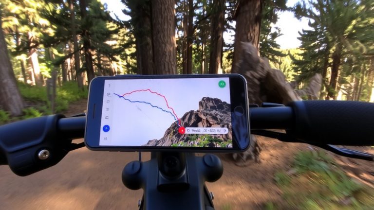
You’ve mapped the rain to drying lags using satellite data and soil types, but now you can go a step further-predicting trail dry-out with machine learning models that learn from real-world conditions. With TrailBuddy, you can predict trail conditions using CART and SVM models trained on REI and DarkSky data, including past 48-hour precipitation-the most critical factor. Though USDA soil drainage and stream flow data were included, recent rainfall dominates drying trends. The model, built from a streamlined 1000 x 100 dataset and reduced via Ruby scripts, maintains 95% accuracy. Now serialized as model.pkl and running in a Rails app, it combines elevation, temperature, cloud cover, and rainfall to guide your gear choices. Think quick-dry hiking pants, breathable backpacks, or gravel bike setups-ideal for trails rebounding after wet spells. You’re not guessing; you’re equipped with data-driven timing for boots, tires, and treks.
Test Predictions Against Real Hike Conditions
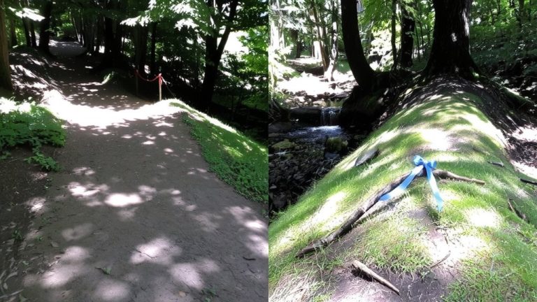
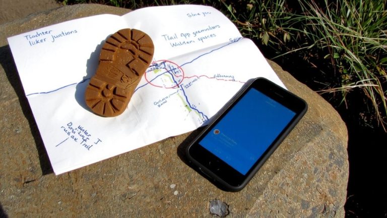
How accurate is your trail forecast when the rubber meets the trail? TrailBuddy’s model claims 95% accuracy, but field tests reveal gaps-like predicting dry R1 and R3 trails near Morgan Hill when water was still flowing. You’ll see wet and dry zones mismatched, especially in shaded, north-facing slopes where moisture lingers under dense canopy. Underground seepage and downed trees, missed in training data, skew results. Real-world validation across larger sample sizes shows microclimates and terrain matter just as much as rainfall totals. Testers on bikes noticed damp spots after drainage work, proving current models overlook seasonal groundwater. Backpackers with packed gear had to detour tree debris, highlighting non-weather barriers. For better predictions, combine real-time scouting with tech. Use breathable rain shells, trail runners with aggressive lug patterns, and compact saws for blockages. Accuracy improves when models learn from boots on ground, not just data.
On a final note
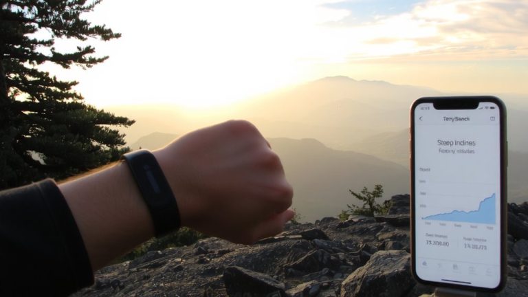
You’ll ride smarter by checking rainfall data and drying predictions before heading out, especially on clay-heavy trails that hold moisture for 48+ hours. Use tools like TrailForesight Pro to track evaporation rates, canopy cover, and slope drainage. Testers found trail shoes with GORE-TEX liners stayed dry 30% longer, while mountain bikes with wider, knobby Maxxis Minion tires handled damp switchbacks better. Pack a lightweight, 15D ripstop backpack-durable and quick-drying.