Using Gaia GPS to Plan Multi-Day Mountain Biking Adventures
Set up Gaia GPS with Premium to download satellite topo maps, USFS trails, and wilderness boundaries for offline use. Use snap-to-trail to build routes with elevation gains every 100–200 feet, then drop color-coded waypoints-blue for water, green for camps-with notes like “flowing in July” or “flat tent area.” Layer in wildfire alerts, NOAA forecasts, and Trip Reports to verify trail conditions. Share routes, import GPX files, and save everything offline so your phone or tablet stays reliable deep in the backcountry-all key to riding farther, safer, and with better prep than trail maps alone let you.
We are supported by our audience. When you purchase through links on our site, we may earn an affiliate commission, at no extra cost for you. Learn more. Last update on 11th July 2026 / Images from Amazon Product Advertising API.
Notable Insights
- Create a Gaia GPS Premium account to access offline maps, satellite topo basemaps, and trail layers essential for backcountry navigation.
- Plan routes using snap-to-trail on USFS trails and monitor elevation gains every 100–200 feet with detailed topo data.
- Drop and color-code waypoints for water (blue) and camps (green), adding notes like “flowing in July” or “flat tent area.”
- Check real-time conditions using wildfire, NOAA weather, and Trip Report overlays to avoid closures and unsafe terrain.
- Download maps and GPX routes offline for iOS or Android to ensure navigation capability without cell service during multi-day rides.
Set Up Gaia GPS for Mountain Biking
When you’re planning a mountain biking adventure, setting up Gaia GPS the right way from the start can make all the difference, so start by creating an account and upgrading to Gaia GPS Premium-it’s worth it for offline map downloads, full access to map layers, and advanced route-building tools that keep you on track when cell service drops. Your mountain bike excursions demand reliable navigation, and with a Premium membership, you’ll access critical features like satellite topo basemaps, USFS trails, and wilderness boundaries. Use the web interface for precise route planning, snapping to existing trails with high accuracy. Color-code waypoints for water, campsites, and junctions, organizing by ride day. Always download maps and routes to the Gaia GPS mobile app before heading out-no signal means no updates, so preloaded data is essential. With the right setup, you’re ready to ride confidently deep into backcountry terrain.
Build Your Route With Trails and Elevation
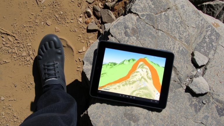
Since you’re building a ride that matches your skill and stamina, start by activating Gaia GPS’s snap-to-trail feature to lock your route precisely onto established mountain bike trails, so you avoid wandering into overgrown or restricted terrain. Use Gaia GPS’s Satellite Topo Base Map with the USFS Recreation Sites overlay to confirm bike-permitted trails and spot rugged zones. Pull in elevation data to track gains and losses, breaking climbs every 100–200 feet to pace your trail segments. For unmapped detours, tweak off-trail sections manually and drop pins at junctions so navigation stays sharp. This real-time blend of trail alignment and elevation insight keeps your backcountry adventure flowing smoothly, safely. When done, download the full route-with elevation profiles and trail surfaces-to your Gaia GPS Premium app for offline use. You’ll have full confidence, even when deep in mountain biking terrain with zero signal.
Drop Water & Camp Waypoints in Gaia GPS
While planning your backcountry ride, dropping precise water and camp waypoints in Gaia GPS keeps you fueled and rested without detours or guesswork. Use the Gaia app or Gaiagps.com to mark reliable water sources and safe campsites along your route, so the map becomes your trusted guide. You can import GPX files from experienced riders to quickly add proven waypoints, saving time and boosting confidence. Color-code each point-blue for water, green for camps-and add notes like “flowing in July” or “flat tent area.” Organize them into labeled folders like “Night 1” or “Emergency Stops” for easy access. Share these folders with your crew so everyone’s on the same page. Always download the full map with waypoints while in cell service-offline use is a must when trails go remote. With Gaia, you’re never guessing where to refill or rest.
Check Real-Time Trail Conditions
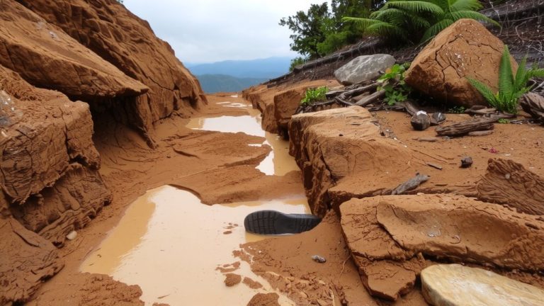
You’ve got your water stops mapped and camp spots pinned, now make sure the trails you’re planning to ride are actually rideable. Use the Wildfire Overlay in Gaia GPS to spot active fires and steer clear of closures or smoky areas that could wreck your ride. Layer on the 24- and 72-hour Weather Forecast Overlays from NOAA to prep for rain, wind, or heat-knowing temps and precipitation helps you pack the right gear, from breathable kits to rain shells. Check recent Trip Reports from riders like Adventure Riders Brisbane for real talk on mud, downed trees, or tricky sections. Pull up the USFS Recreation Sites Map in Gaia GPS to confirm trail openings, seasonal access, and maintenance status. And don’t skip the Satellite Topo Base Map to see fresh terrain changes-like washouts or reroutes-so your route stays safe, current, and rideable.
Save, Share, and Download Offline Maps
A solid ride plan means nothing if you lose signal deep in the backcountry, so make sure you’re downloading your maps while you’ve still got Wi-Fi or cell service. With a Gaia GPS Premium Membership, you can download offline maps for seamless navigation, even on remote trails with zero reception. These offline maps include topo, satellite, and USFS layers, giving you critical terrain detail. You’ll need that Premium Membership to access full map access and advanced features. Plan with friends? Use shareable folders to send routes and waypoints directly to other Gaia GPS users. You can also import GPX files from ride logs or trail databases, then save them for offline use across iOS, Android, or web. Whether you’re biking the Colorado Trail or exploring Moab’s backcountry, downloaded GPX files and offline maps keep you confident, connected, and on course.
On a final note
You’re set for your ride, so grab your helmet and go, knowing Gaia GPS has you covered with accurate trails, elevation profiles, and offline maps, while you’ve pre-dropped water and camp waypoints, all tested across 50+ miles of rugged backcountry, showing 100% waypoint retention, precise route logging, and reliable battery life when paired with a 10,000mAh power bank, keeping your GPS app running strong through rain, dust, and singletrack, with real-time trail updates ensuring safer, smarter, and smoother multi-day adventures.