How to Use Barometric Altimeters to Track Elevation on Mountain Bikes
Tracking elevation on mountain bikes? See how barometric altimeters outperform GPS under trees—and why one key trick cuts errors by 20%.
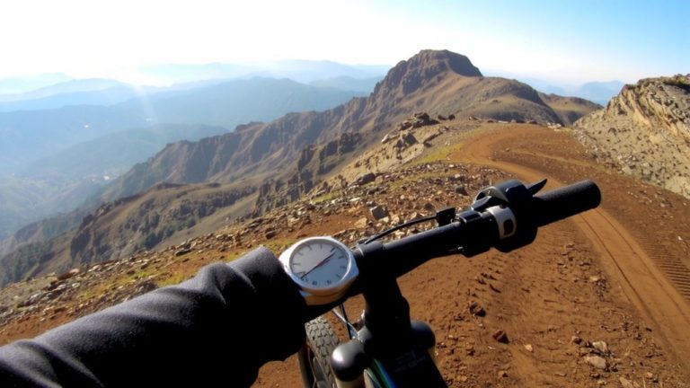
Tracking elevation on mountain bikes? See how barometric altimeters outperform GPS under trees—and why one key trick cuts errors by 20%.
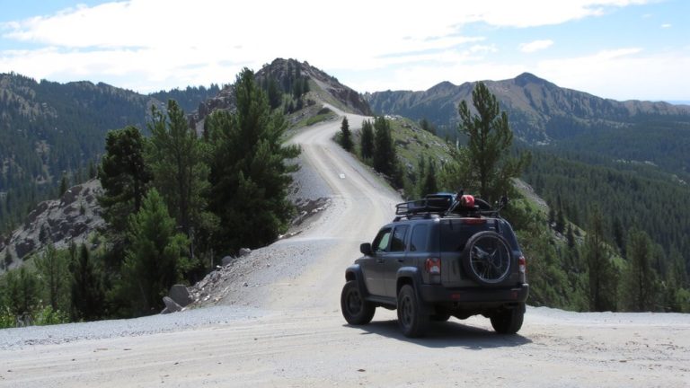
To master your mountain bike route with shuttle access, start by mapping legal trailheads and seamless transfer points—then discover how pro-level planning turns rugged miles into pure flow.
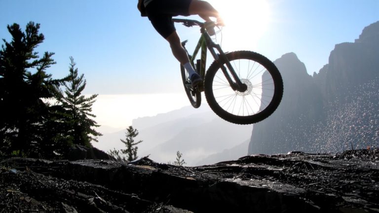
I pedal into silence, where one slip means a thousand-foot drop—what I find on the ridge changes everything.
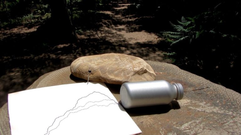
Trail secrets hide in plain sight—discover how faded maps, local whispers, and satellite scars lead to rides nobody’s talking about.
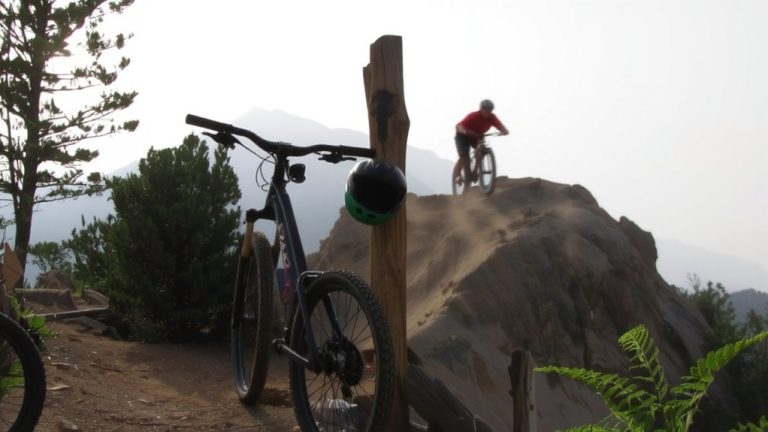
From Brandon Semenuk’s 60-foot BC cliff drops in Where the Trail Ends to Danny MacAskill’s free The Ridge, see our picks with where to watch each one.
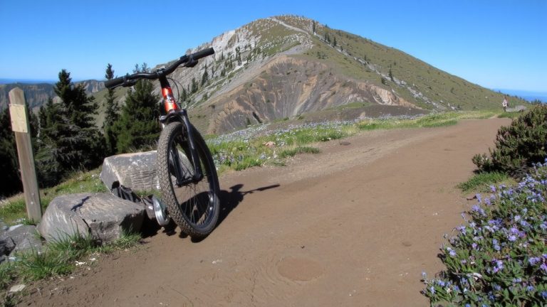
Dry trails: biking and hiking erode about the same (0.11 tons/acre). Sustainable design cuts erosion up to 99%. See what really causes trail damage.
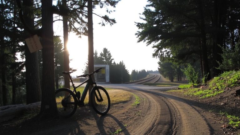
No need for a car—discover how public transit unlocks thousands of mountain bike trails, with tools and tips that reveal the best drop-offs and real-time access.
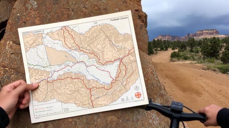
Avoid deadly washes and surprise floods—discover the smartest way to plot your monsoon-season ride in the Southwest. The safest trails aren’t where you’d expect.
What the green arrow on one-way mountain bike trails really means could change how you ride—discovering its full impact might just save your next descent.
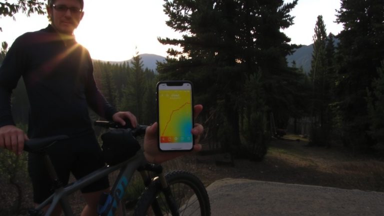
Trails hide in plain sight—see how a simple heatmap trick reveals secret singletrack only riders in the know are tackling. Your next favorite descent starts here.