How to Find Mountain Bike Trails in Wildlife Refuges With Access Permits
Check the refuge’s official website or brochures to confirm if bikes are allowed-many, like St. Marks NWR, permit riding on 160 miles of gravel roads and levees but ban them on nature trails. Stick to hard-packed dirt surfaces, ideal for hybrid or mountain bikes with 2.1–2.4-inch tires. Download current bike maps, call staff for seasonal closure updates, and ask local groups like Low Country Fat Tire Freaks for trail conditions. You’ll also learn which UPF 50+ jerseys and DEET-based sprays riders rely on when bugs peak.
We are supported by our audience. When you purchase through links on our site, we may earn an affiliate commission, at no extra cost for you. Learn more. Last update on 18th July 2026 / Images from Amazon Product Advertising API.
Notable Insights
- Check the refuge’s official website or visitor brochures for bike access rules and permitted trails.
- Use U.S. Fish and Wildlife Service maps to identify designated bike routes on gravel roads and levees.
- Contact refuge staff directly to confirm current seasonal closures and access permissions for bikes.
- Consult local biking groups for real-time updates on trail conditions and tolerated access on dirt roads.
- Plan rides on hard-packed surfaces using hybrid or mountain bikes with 2.1–2.4-inch tires for best compatibility.
See If Bikes Are Allowed at Your Refuge?
Want to know where you can ride without breaking any rules? Start by checking the refuge’s official website or visitor brochures-some, like Wheeler NWR, prohibit bikes on trails but allow them on gravel roads and levees. Remember, bicycles are permitted only where explicitly allowed, so don’t assume. Contact the refuge manager directly; at places like St. Marks NWR, bikes are allowed on all open roads and trails where hiking is permitted. Always review signage at trailheads-routes open to foot traffic may also allow cycling unless posted otherwise. Consult U.S. Fish and Wildlife Service regulations, since sensitive zones often ban bikes to protect habitats. Focus on multi-use gravel roads, not nature trails. Bring a lightweight mountain bike with 2.2-inch tires, a hydration pack, and a GPS unit to stay on course. Know the rules, pack right, and ride responsibly.
Ride Only on Roads: Not Nature Trails
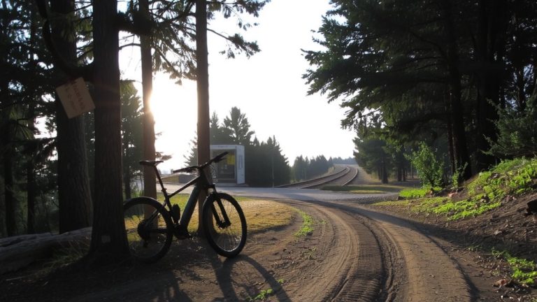
While you might be keen to explore every path on two wheels, remember that nature trails in wildlife refuges are off-limits to bikes-period. At Wheeler NWR, those five trails with boardwalks, fine gravel, and dirt paths? Feet only. Same goes for St. Marks NWR-bikes aren’t allowed where hiking’s the only permitted activity, especially in protected zones. But you’re not shut out; refuge roads are your go-to. Gravel roads and levees, like those at Wheeler, welcome bikes alongside hikers, though watch for trucks or farm equipment. Stick to open refuge roads clearly marked for cycling. These roads often have hard-packed surfaces ideal for hybrid or mountain bike tires-2.1 to 2.4 inches works well. Always check signage; if it doesn’t say bikes allowed, assume they’re not. Your ride stays smooth, legal, and low-impact when you stick to designated roads.
Avoid Closures for Birds and Bugs
When bird nesting seasons or swarms of insects shut down trails and roads in wildlife refuges, timing your ride right can mean the difference between a smooth, scenic loop and a bug-bitten retreat. Many refuges, like St. Marks, close areas during winter to protect birds, so plan spring or summer trips when trails are open. But watch out-summer also brings heavy insect activity, especially in places like ACE Basin NWR. For fall or winter rides, bring thermal layers and tread lightly on damp trails. When biking during peak bug months, apply DEET-based repellent and wear lightweight, long-sleeve jerseys with UPF 50+ fabric. Some roads, like those at Wheeler NWR, stay open for bikes even when vehicles are banned. Always check with refuge staff before you go-knowing when trails are open and conditions are safe keeps your ride on track, green, and bite-free.
Download Official Refuge Bike Maps
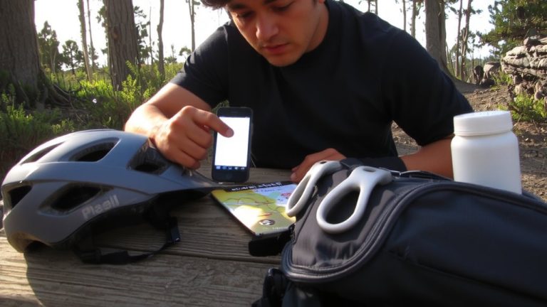
Since trail access can change with wildlife activity and seasonal conditions, downloading the official refuge bike maps guarantees you’re riding on open, permitted routes. Head to the refuge website to grab the most current downloadable biking & hiking guide, which clearly marks gravel roads, levees, and dirt paths where bikes are allowed. For Wheeler NWR, this guide helps you avoid nature trails where cycling is prohibited, steering you toward safe, designated routes. At St. Marks NWR, the 160-mile network of bike-friendly dirt roads spans three units, all detailed in their online brochure and official map from USFWS. These resources highlight access points, seasonal closures, and trail surfaces-key intel for choosing the right tires, pack weight, and frame materials. You’ll ride smarter with updated maps in hand, ensuring compliance and safety while protecting sensitive habitats. The downloadable biking & hiking guide is your go-to tool for planning every off-road adventure.
Call Refuge Staff to Confirm Access
You’ve downloaded the official bike map and mapped out your route, but don’t fire up the pedals just yet-calling the refuge staff is the next smart step to lock in your access details. Policies for trails aren’t always clear online, and they vary by refuge. At St. Marks, staff can confirm bikes are allowed on all open trails and roads where hiking is permitted, except in restricted zones. Wheeler staff will tell you bicycles are banned on all nature trails, including boardwalks and fine gravel paths. In ACE Basin, biking isn’t officially designated, but it’s often tolerated on certain dirt roads-refuge staff can clarify current access. You’ll also learn about seasonal closures, like St. Marks’ winter bird protections, which temporarily close roads and affect trail access. A quick call guarantees you’re riding legally, safely, and respectfully on approved trails.
Ask Local Riders for Current Conditions
How do you know if the trail’s rideable today? Check with local mountain biking groups like the Low Country Fat Tire Freaks on Facebook, where riders post real-time updates from refuges like ACE Basin NWR. Members share trail conditions on dirt roads along dikes, note insect levels, and confirm access status. Ask recent riders about conditions at Bear Island WMA or Santee Coastal Reserve WMA, especially seasonal tips-many avoid summer rides there due to swarms. Fellow cyclists recommend 100-SPF sunscreen, full-coverage clothing, and applying DEET to sleeves and neck gaiters. Testers swear by hydration packs with 2L capacity, gloves with grip-enhancing silicone, and tubeless setups for fewer flats. These groups give you more than trail info-they offer tested strategies for staying safe, comfortable, and rolling smoothly through wildlife areas. Joining means smarter, better-prepared rides.
On a final note
Always check refuge rules before riding-many allow bikes on paved or gravel roads only, not singletrack. Confirm access via official maps or a quick call to staff. Ask local riders about current trail conditions. Wear a well-ventilated helmet and carry a 3L hydration pack, like the CamelBak MULE, tested for comfort on 10-mile rides. Use durable, lightweight trails like the Specialized Rockhopper, with 29-inch wheels and 80mm of travel, ideal for rough refuge paths.