How to Find New Mountain Bike Trails Using Local Cycling Forums
Join local cycling forums and Facebook groups to uncover hidden singletrack, seasonal closures, and trail beta from seasoned riders. You’ll get GPX files, OS map PDFs, and Strava heatmaps while connecting with bike clubs and shop crews. Attend trail work days or group rides to earn trust and access off-grid lines. Verify routes with Trailforks, MTB Project, and Komoot, then share your own loops to access secret enduro tracks and hand-drawn local maps.
We are supported by our audience. When you purchase through links on our site, we may earn an affiliate commission, at no extra cost for you. Learn more. Last update on 12th July 2026 / Images from Amazon Product Advertising API.
Notable Insights
- Join local cycling forums and Facebook groups to access real-time trail updates and hidden route beta from experienced riders.
- Request GPX files, Wikiloc links, and OS map PDFs from active members to discover undocumented singletrack and seasonal trails.
- Attend trail work days and shop rides advertised in forums to build trust and gain access to private trail knowledge.
- Post detailed ride reports with GPS data and photos to establish credibility and encourage members to share secret lines.
- Engage in region-specific threads on forums like Singletrack or Pinkbike to exchange routes and uncover local-only trail networks.
Join Local Groups to Find Mountain Bike Trails
You’ll want to jump into local Facebook groups or online cycling forums where riders trade trail updates, route beta, and real-time conditions-these communities are often the fastest way to learn about hidden singletrack, seasonal closures, or slickrock lines tucked away in BLM land. When you’re mountain biking in a new region, joining local groups gives you instant access to collective knowledge. You’ll find PDFs of OS maps, GPX files, and Strava heatmaps pinpointing the best trails in the local area. Fellow riders often share Wikiloc links and trailhead tips, making finding new routes efficient. Connect with a local bike club or attend trail work days to build trust and gain insider tips. Local bike shops post group rides too-great for testing trails with reliable companions. Whether you’re scouting enduro lines or flowy cross-country singletrack, joining local groups sharpens your radar and keeps your rides fresh, informed, and dialed.
Ride With Locals for Insider Trail Access
Riding with locals opens doors to trail networks you won’t find on any app or map, building on the connections started in online forums and groups. When you ride with locals, you gain access to hidden local trails that the lot of people never discover. These riders often know secret lines, flow trails, and backcountry connectors they’re happy to share after trust is built. Join weekly shop rides or trail work days to meet seasoned mountain bike enthusiasts who’ll show you around. Many don’t even use Trail Forks for off-grid paths, so relying on apps alone won’t help you find new trails they’ve built or maintain. Volunteers get invited to exclusive group rides where GPS tracks and hand-drawn maps get passed around. Staff at community bike shops also share insider tips on trail conditions and etiquette. The bonds you form are often the best way to use to find what’s truly off the beaten path.
Verify Mountain Bike Trail Info With Digital Tools
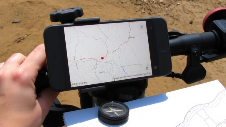
How do you know that trail your buddy raved about actually exists-and won’t drop you off a cliff? You use digital tools to verify every detail before you roll. Apps allow you to cross-check forum tips with Trailforks, where difficulty ratings, user photos, and trail conditions help you decide if it’s a good match. Use the Strava Heatmap layer to see real usage patterns and avoid sketchy, unofficial paths. MTB Project is key for confirming trail legality and access-its listings require official manager approval, so you know the bike trails are legit. For solid route planning, import GPX files into Locus Maps or Komoot to compare with OpenStreetMap and catch missing connectors. Pair that with Google Earth to scout elevation, terrain, and obstacles. These tools help you find new mountain rides safely and confidently.
Post Your Routes to Gain Trail Intel in Return
While sharing your best rides might seem like giving away secrets, posting detailed routes online actually opens doors to a wealth of hidden trail knowledge you won’t find on any app. When you share your mountain routes-especially ones I’ve vetted with GPS files, photos, and current conditions-you build trust fast. Trails I’ve posted? They’re pretty good, but the replies I get in return are really good. On forums like MTBR or Pinkbike, I trade a 25-mile loop for secret enduro lines locals only share after seeing your effort. Make sure to join region-specific threads, like Singletrack Magazine’s Scotland board, and stay active. Post ride reports every few months per year, and you’ll get private messages with bootleg routes. Next time you’re planning a trip, you’ll have intel most riders never access. Just don’t forget to give before you ask.
On a final note
You’ve got the tools and the crew-now ride smart. Stick with trusted forums like MTBR or Pinkbike to discover hidden trails, then verify routes using Trailforks or Gaia GPS with 30m contour accuracy. Wear a Fox Dropframe helmet, carry a 12L Osprey pack with repair kit, and trust tubeless-ready Maxxis Minion tires on rocky descents. Ride with locals, share your routes, and always pack extra water-3 liters minimum for 20-mile loops. The best trails come from shared trust, solid gear, and real-world testing.