How to Find Trails With Natural Features Like Lava Rock Formations
Start at the visitor center for up-to-date trail maps and alerts, especially since trails like White Domes Loop close May 15–September 30 due to heat. Pick seasonally open paths-Lava Flow Trail is best Nov–Apr, while Hell’s Half Acre opens year-round in spring or fall. Wear grippy approach shoes to handle jagged *aa* or smooth pāhoehoe. Follow cairns across unstable basalt, watch for pressure ridges, and check signs explaining 20,000-year-old flows. Stay on marked paths past collapsed tubes and squeeze-ups, keep pets leashed, and pack out trash-more insights await.
We are supported by our audience. When you purchase through links on our site, we may earn an affiliate commission, at no extra cost for you. Learn more. Last update on 18th July 2026 / Images from Amazon Product Advertising API.
Notable Insights
- Start at visitor centers for current maps and alerts on lava trails and seasonal closures.
- Choose trails open in cooler months, like Snow Canyon’s Lava Flow Trail from November to April.
- Look for interpretive signs and brochures at sites like Hell’s Half Acre to identify lava features.
- Spot ropy pāhoehoe, pressure ridges, and collapsed lava tubes on marked trails with cairns.
- Wear grippy shoes, stay on paths, and follow Leave-No-Trace principles on fragile basalt terrain.
Start at the Visitor Center for Maps and Alerts
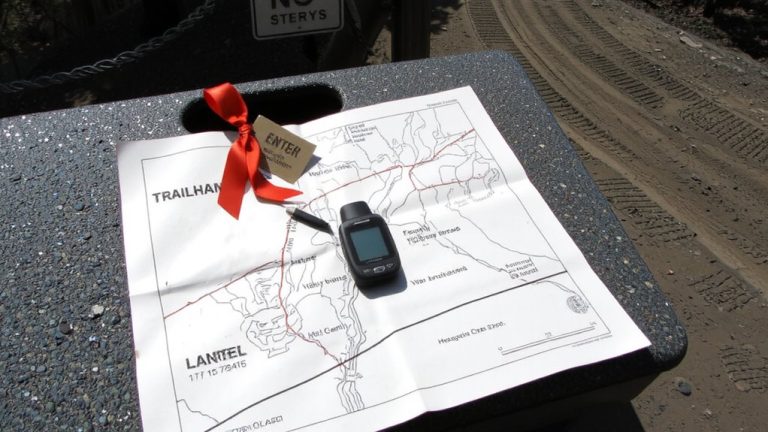
Before you hit the trail, make sure to stop by the visitor center-it’s your best first move for staying safe and informed. At Valley of Fire and Snow Canyon, you’ll grab up-to-date maps showing open routes and seasonal closures, like the White Domes Loop, shut down May 15 to September 30 due to brutal heat. The visitor center staff hands out detailed trail maps and posts alerts, so check them before committing. At Snow Canyon, you’ll also see entrance notices about rugged basalt terrain on the Lava Tube Trail-steep, uneven, and dark inside, so bring a flashlight and wear grippy hiking boots. The Hell’s Half Acre visitor center offers interpretive brochures that help you spot kipukas, aa, and pahoehoe flows along cairned paths. Ask about lava tube accessibility-some require scrambling over a four-foot drop. These maps and updates aren’t just helpful; they’re essential gear in your pack.
Choose Open Lava Trails by Season
You’ve got your map in hand and the latest alerts marked-now it’s time to match those trails to the right season, especially when you’re traversing lava fields that shift from adventure to hazard depending on the sun’s angle. Snow Canyon’s Lava Flow Trailhead, accessible via UT-18, is open daily but best hiked November to April when basalt cools, making gloves and ventilated boots essential. Avoid Valley of Fire’s White Domes Loop and Fire Wave-they close May 15 to September 30 due to extreme heat. The park also shuts entirely December 1–14 for maintenance. Meanwhile, Hell’s Half Acre lava flow in Idaho stays open daily, with 222 square miles ideal in spring or fall; grippy approach shoes handle rough textures best. Always check alerts before going-conditions change fast on exposed flows.
Spot Ropy Lava, Pressure Ridges, and Lava Tubes
As you hike across cooled basalt flows, keep an eye out for ropy pāhoehoe formations-those smooth, twisted ribbons of solidified lava found on Idaho’s Snake River Plain and along Snow Canyon’s Lava Tube Trail-where trails weave through rugged terrain that demands grippy outsoles and ankle support, especially when traversing uneven textures and sharp edges left by ancient flows. You’ll also spot pressure ridges buckling across Hell’s Half Acre’s 222-square-mile field, formed 4,100 years ago. Look for collapsed entrances at 0.4 and 1.2 miles on the Lava Tube Trail-these lava tubes, some nearly 80 feet long and over 30 feet deep, need a headlamp and secure footing. Squeeze-ups, where lava rock pushed through cracks, add detail beside ‘a‘ā and pāhoehoe flows in Idaho’s Wilderness Study Area. Lava tubes offer shelter and intrigue, but always check stability before entering.
Read Signs to Learn About Lava Rock Formations
Signs along the trails do more than just point the way-they tell the story of the land beneath your boots. You’ll find interpretive signs at places like Hell’s Half Acre explaining how 4,100-year-old lava flows reached 2,000°F and moved up to 30 mph. These displays help you identify *aa* lava, which is rough and jagged, versus *pahoehoe*, with its smooth, ropy texture. In Snow Canyon State Park’s Lava Tube Trail area, interpretive signs reveal basalt formed 20,000 years ago from Cinder Cone volcano. They also label features like pressure ridges, squeeze-ups, and collapsed roofs. At Valley of Fire, signs link lava rock formations to ancient flows shaping the Basin and Range. Reading these interpretive signs deepens your understanding of how lava shaped the terrain, turning a simple hike into a real-world geology lesson.
Follow Cairns to Stay Safe on Rugged Terrain
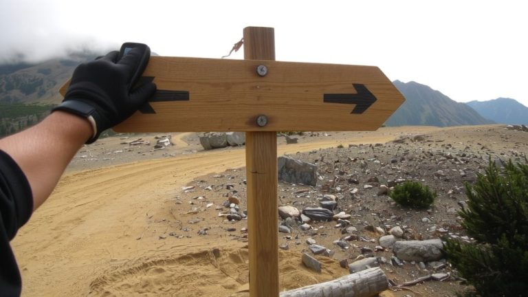
When traversing rugged lava fields where trails vanish under fractured rock, cairns become your most reliable guide-stacked stone markers that stand like sentinels across barren flows, guiding you safely across terrain too harsh for standard trail maintenance. On trails like Lava Falls, cairns mark the one-mile loop across jagged flows; you should always confirm the next cairn is visible before moving forward. Never remove or disturb rocks-tampering with cairns can disorient hikers, especially near steep canyon edges. Stay focused: pause *before* stopping to admire scenery so you don’t lose sight of the next marker. Building unofficial cairns off-route is discouraged-it creates confusion and compromises safety. These small stone guides are essential, especially where GPS signals falter and footing is unstable. Following cairns isn’t just tradition-it’s a smart, proven way to navigate lava terrain safely and efficiently.
See Similar Lava Rock Formations at Nearby Parks
Though you’ve mastered traversing cairns on rugged lava flows, don’t stop there-nearby parks offer equally striking formations worth exploring with the right gear and preparation. At Snow Canyon State Park, hike the 2.3-mile Lava Tube Trail to explore basalt tubes formed 20,000 years ago, with the largest stretching nearly 80 feet long and over 30 feet deep-bring a headlamp for safe navigation. The jagged terrain relies on cairns, so stick to marked paths to protect the fragile rock. Just a few hours away, Valley of Fire State Park reveals ancient red sandstone shaped by volcanic activity, offering trails that weave through eroded ridges and lava remnants. While not known for tubes, its dramatic contrasts between red rock and black flows create striking scenery. Wear grippy hiking boots with Vibram soles for traction, carry 2 liters of water, and use a durable daypack with a hydration sleeve to stay prepared on these sun-exposed, geologically rich trails.
Practice Leave-No-Trace in Fragile Lava Landscapes
How do you explore volcanic terrain without leaving a trace? Stay on marked cairn routes to protect slow-growing lichens that take decades to recover, especially in fragile zones like Snow Canyon State Park’s Lava Tube Trail. Don’t build off-trail cairns-it’s prohibited and disorients other hikers. Inside the 80-foot-long lava tube, stick to the worn path to avoid damaging basalt structures and disturbing bat habitats. Never remove rocks, plants, or artifacts; it’s illegal in both State and National Park sites like Valley of Fire and El Malpais. Keep pets leashed, and don’t bring them into caves or visitor centers to preserve wildlife balance. Use durable, low-impact gear-think Vibram-soled hiking boots and breathable, moisture-wicking layers. Pack out all trash, minimize campfire use, and leave every formation exactly as you found it.
On a final note
Stick to open trails with marked cairns, especially in fragile lava zones, and always carry a map from the visitor center. Wear ankle-supporting hiking boots with Vibram soles for grip on sharp rock. Bring a 2-liter hydration bladder, sunscreen, and a wide-brim hat-lava fields offer zero shade. Use trekking poles to stabilize on uneven ropy lava. Pack out all waste; even small trash stands out. Testers logged 10-mile days comfortably with Deuter packs and Merrell Moabs.