How to Use Trailforks to Compare Ride Times Across Different Routes
You can compare ride times across routes using Trailforks’ GPS-based ride logs, pulled from thousands of anonymized rides and Strava-synced data for better accuracy. Tap any trail segment to see recent ascents or descents, filter by singletrack or fire road, and view exact times, distance, and elevation. Heat maps reveal faster lines, while cleaned GPS tracks, snapped to official trails via Valhalla, guarantee reliable comparisons-especially on high-traffic runs like Black Snake. Keep refining your pace, gear, and setup, then discover how route building and performance tracking take your rides further.
We are supported by our audience. When you purchase through links on our site, we may earn an affiliate commission, at no extra cost for you. Learn more. Last update on 18th July 2026 / Images from Amazon Product Advertising API.
Notable Insights
- Use Trailforks ride logs to access GPS-tracked data from thousands of anonymized rides for accurate time comparisons.
- Tap any trail segment to view recent ascents and descents, and filter by single track or fire road for precise splits.
- Compare your performance against average ride times on segments like Black Snake or Skyline Fire Road using real-world metrics.
- Clean and upload GPX or KML files with auto-snap to align tracks to official trails for reliable time benchmarking.
- Build custom routes with the Route Planner and use heat maps to identify faster lines based on rider usage patterns.
Compare Ride Times With Trailforks Ride Logs
While you’re planning your next ride, checking Trailforks ride logs can give you a real edge by showing how your times stack up against others on the same trail. You can easily compare ride times using GPS-tracked data from thousands of anonymized ride logs, so you know if your 8-minute descent on Black Snake or 22-minute climb up Skyline Fire Road is above average. Trailforks pulls in Strava-synced data, expanding the pool of logs and improving accuracy. Just tap a trail segment to view recent ascents and descents, filtering by single track or fire road to see real-world performance splits. Heat maps highlight frequently used sections, often indicating faster lines. With ride logs showing exact time, distance, and vertical gain, you can benchmark your progress, adjust pacing, and fine-tune gear-like switching to lighter tires or adjusting suspension-for better results next time.
Find & Customize Routes With Trailforks Route Planner
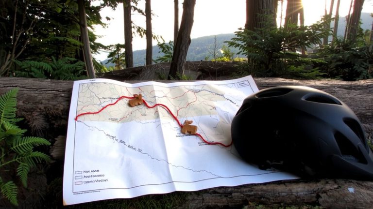
You’ve compared your ride times and analyzed performance splits using Trailforks ride logs, but now it’s time to take control of your ride from start to finish with the Route Planner. For mountain biking adventures, this tool lets you build routes using GPS coordinates, auto-routing, or freehand drawing-just click and drag. Hover over trails to preview paths with dashed lines, or hold ALT to draw straight-line connections between points. Freehand drawing snaps to nearby trails, but you can override it for precision. Upload GPX files or tweak GPS coordinates manually to fine-tune every turn. Add colored sections, POIs, and alternate paths to your custom map. The route planner generates turn-by-turn directions, trail lists, and surface breakdowns, making prep work simple, accurate, and efficient for your next ride.
Fix GPS Tracks Using Auto-Snap on Trailforks
If your GPS track looks messy after a ride, don’t worry-Trailforks has a fix built right in. Upload your GPS tracks from a GPX or KML file, then use the auto-snap feature to clean them up. Trailforks automatically aligns your data to its official trail network using curated maps and the Valhalla routing server. This corrects inaccuracies from poor signal or device drift, especially common with entry-level GPS units or dense tree cover. Auto-snap works across 27 global routing areas, ensuring fast, precise results. Once snapped, your ride logs match actual trail segments, which is key for comparing ride times across different routes. Clean GPS tracks mean reliable data, so you can trust your splits and progress. It’s a quick, essential step for any serious rider using Trailforks to track, analyze, and improve.
Benchmark Your Performance Against Popular Routes
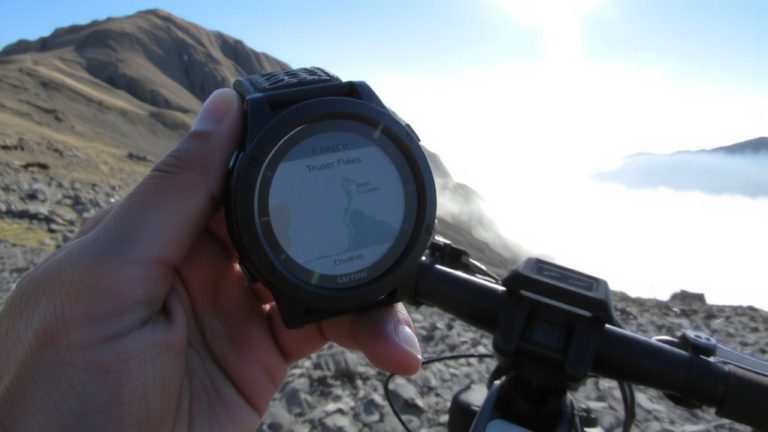
Now that your GPS tracks are cleaned up and accurately mapped using auto-snap, you can put that reliable data to real use-measuring how you stack up on the trails everyone rides. Trailforks lets you benchmark your performance against popular routes using anonymized ride times from thousands of riders. By syncing your Strava or Garmin logs, you contribute to and leverage trail usage data that powers accurate comparisons. Check the Route Finder for association-recommended loops, or use the Heat Map to find high-traffic trails where performance metrics matter most. Turn-by-turn directions in the Route Planner include time estimates based on real data, so you know if your ascent on single track beats the average or needs work. Whether you’re on a full-suspension 29er or a hardtail, comparing your ride times helps track progress and set real goals.
On a final note
You’ll save time and boost confidence by using Trailforks to compare ride logs across routes, spotting fastest segments and elevation gains in real-world conditions. Its route planner customizes trails by difficulty, length, and GPS accuracy, while auto-snap fixes rough tracks effortlessly. Benchmark against top riders on popular trails like Whistler’s A-Line or Moab’s Slickrock. Pair it with reliable gear-a Fox 34 Float fork, 2.4” Maxxis Minion tires, and a 20L backpack with hydration-tested by daily riders for durability and comfort on mixed terrain.