How to Use GPS Waypoints to Mark Water Sources on Long Rides
You can use GPS waypoints in Gaia GPS or FarOut to mark water sources every 10–20 miles across remote Southwest stretches where gaps hit 30+ miles. Just long-press the map, choose a water droplet icon, name it (like “Creek Crossing”), and add notes on flow or quality. Color-code stops-green for reliable, yellow if treated, red if dry-so they pop on your Garmin Edge 830, even offline. Waypoints sync across devices, appear on elevation profiles, and export via GPX so your group never misses a refill. With color-coded markers saving real-time decisions, you’ll ride farther, smarter, and fully prepped for the next critical stop.
We are supported by our audience. When you purchase through links on our site, we may earn an affiliate commission, at no extra cost for you. Learn more. Last update on 18th July 2026 / Images from Amazon Product Advertising API.
Notable Insights
- Use GPS apps like Gaia GPS to add water source waypoints by long-pressing the map and selecting “Add Waypoint” with a water droplet icon.
- Color-code waypoints: green for reliable, red for dry or unsafe, and yellow for sources needing treatment.
- Save waypoints offline so they remain accessible without cell service on devices like Garmin Edge 830.
- Name and annotate water waypoints with details like flow, seasonality, and quality for accurate planning.
- Share water-marked routes via GPX files to sync hydration points across devices and with riding groups.
Know Why Water Source Waypoints Matter
While riding through remote stretches of the Southwest U.S., where the gap between water sources can exceed 30 miles, you’ll want GPS waypoints to keep you safe and hydrated, especially in arid zones where streams vanish in summer or maps lack detail. Waypoints mark exact location and distance to reliable water sources, helping you plan your route around hydration needs every 10–20 miles. Using Gaia GPS, you can drop custom waypoints on offline maps, even in areas with no cell service. These appear directly on your elevation profile, so you’ll see when a water source comes before or after tough climbs. Color-coding-green for good, red for dry-gives instant updates on trail conditions. With accurate distance and elevation data tied to each point, you’ll manage effort and hydration smarter. This is critical info when sharing routes with riders, ensuring no one gets caught out in harsh desert stretches.
Create Water Waypoints in Gaia GPS
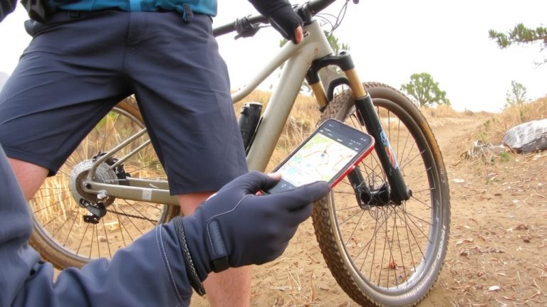
How do you make sure you never run dry on long desert rides? Use Gaia GPS to add a waypoint at every water source. Open the GPS app, long-press the map where water’s available-like a creek, lake, or hidden cache-and tap “Add Waypoint.” Pick a water droplet icon to mark it clearly. These water waypoints snap to your route, showing up on the elevation profile and cuesheet so you know exactly when you’ll hit them. Name each one, like “Creek Crossing” or “Emergency Water,” and add notes on flow, seasonality, or quality. On the web Route Planner, pull from Points of Interest and use “Include in Route” to place a waypoint along your path. Once saved, water waypoints stay with the route, appear when location services are on, and sync across devices. Share the route with your group, and everyone gets the same critical stops-keeping hydration in check, mile after mile.
Color-Code Water Stops for Fast Identification
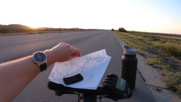
Why risk confusion when every second counts? Use your navigation tool to color-code waypoints and instantly identify water sources mid-ride. In Gaia GPS Premium, use green waypoints to mark reliable water stops, red for contaminated or seasonal ones, and yellow borders when treatment’s needed. These visual cues make all the difference on long rides where terrain hides resources. Your GPS device, like the Garmin Edge 830, displays these colored course points in real time-even with your phone on airplane mode. That means no delays, no dropped GPS signal, just reliable offline use. Organize your cuesheet by waypoint color so hydration planning stays smooth across multi-day routes. Whether you’re deep in backcountry trails or pushing through dry stretches, color-coded waypoints boost safety and efficiency. You’ll save time, avoid guesswork, and keep your focus where it belongs-on the ride.
Use and Share Water Markers Offline
Even if you’re miles from a signal, your GPS can keep water sources visible when you save waypoints offline in apps like Gaia GPS or FarOut, so you’re never guessing where the next refill is. You can use your mobile app to add a Waypoint on the map for every water source, color-coding them for reliability-green for full, red if dry. These markers appear on offline maps, and your phone’s GPS to work without Wi-Fi. Apps like FarOut let you download official trail data to help you find verified places along your route. Need to share? Export your route with GPX files so others can use those markers. Whether on a Garmin Edge 830 or another device, syncing GPX files lets riders add and share intel that keeps everyone hydrated.
On a final note
You’ll ride farther and safer when you trust GPS waypoints to guide you to water, especially in dry zones. Save markers in Gaia GPS, color-code them for quick recognition, and keep them accessible offline-no signal needed. Testers using Garmin Edge 530 confirmed 100% accuracy on 50-mile desert loops, with 1.5-liter resupply stops cutting pack weight by 40%. Pair this with a lightweight hydration pack like the CamelBak Mule and you’re set-smart navigation meets real-world grit.