CalTopo Route Planning: Slope Shading, SNOTEL & Munter Method
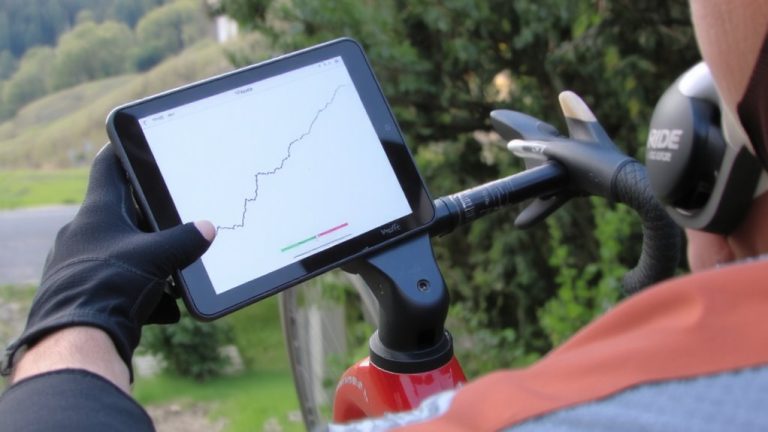
Start with USFS Topo or USGS Raster Topo as your base, then overlay Satellite – Sentinel 2 and SNOTEL data to track snow depth and trail conditions. Use Slope Angle Shading at 30° to spot avalanche zones, especially when paired with high-res elevation data. Snap your route to trails using the Add Line tool, set line weight to 8 for clarity, and refine turns with zoomed satellite views. Layer in real-time stream gauges and wind forecasts to adjust for hazards, then generate a Travel Plan using the Munter Method-customize for pack weight and terrain to nail your timing. Marker-based segments with break tags like “30 min” keep your schedule realistic, and continued use reveals smarter ways to adapt on the fly.
We are supported by our audience. When you purchase through links on our site, we may earn an affiliate commission, at no extra cost for you. Learn more. Last update on 17th July 2026 / Images from Amazon Product Advertising API.
Notable Insights
- Select detailed base layers like USFS Topo and Sentinel 2 satellite imagery to enhance trail and snow visibility.
- Use Slope Angle Shading with high-res elevation data to identify terrain steeper than 30° for safety assessment.
- Overlay real-time SNOTEL snow data and water gauges to evaluate current trail conditions and avalanche risk.
- Draw precise routes with trail snapping and 8-weight lines, refining with zoomed satellite or public land views.
- Generate a Travel Plan using the Munter Method, requiring a Pro subscription, with timed markers for accurate itineraries.
Choose the Right Base Layer for Your Terrain
Start by picking a base layer that matches the terrain you’re tackling, because the right map can make or break your trail planning. In CalTopo, choose US Forest Service (USFS) Topo for detailed trail networks and administrative boundaries-perfect for backcountry hiking or off-trail navigation. If you’re evaluating snow conditions, pair Satellite – Sentinel 2 (Weekly) with SNOTEL data to see real-time snow depth and coverage. For steepness awareness, combine USA Contours with slope shading, though detailed hazard analysis comes later. Use the Public Lands layer to avoid private property, a must when crossing rural or disputed zones. In remote areas, download the USGS Raster Topo layer for reliable offline access-contours, elevation, and trails stay visible without signal. All these layers integrate seamlessly in CalTopo, giving you precise, real-world data for safer, smarter route choices on foot or bike.
Assess Slope and Terrain Hazards in CalTopo
You’ve picked a base layer that matches your terrain, so now it’s time to check how steep things really get-because what looks manageable on a map can feel totally different underfoot or on a bike. Turn on Slope Angle Shading to see slopes of 30° or steeper highlighted, where avalanche risk climbs sharply. You can tweak the threshold from 25° to 35° in the Terrain settings, perfect for tuning to your activity, like backcountry skiing or alpine climbing. The overlay works with satellite or topo layers, so you can spot risky chutes, scree fields, or icy couloirs with clarity. CalTopo uses high-res elevation data, so the slope models are spot-on, even in snow-blanketed zones. Whether you’re carrying ski gear, a loaded backpack, or riding a gravel bike, knowing the true incline helps you choose safer routes. Best of all, Slope Angle Shading is free for everyone-no Pro license needed.
Integrate Real-Time Snow and Water Data
While terrain steepness gives you a baseline, knowing what’s actually happening on the ground-especially in snowbound or high-water seasons-can make or break your trip, and that’s where CalTopo’s real-time snow and water data really shines. Using CalTopo, you can access hourly snow depth updates from 800+ SNOTEL stations across the western U.S., so you’ll know if your trail is buried under 30 inches of powder or clear. Over 7,500 real-time water gauges show stream levels, helping you avoid dangerous crossings on foot or bike. Layer in NOAA’s elevation-specific wind and weather forecasts to decide between a hardshell or rain shell, or whether your bike’s traction will hold. These data layers update automatically, and when you’re using CalTopo to overlay them with your planned path, you can adjust for avalanche risk, trail passability, and water access-before you go.
Draw and Refine Routes With Precision
A well-drawn route on CalTopo gives you confidence before you even pack your panniers or shoulder your pack, and the Add Line tool-found under +Add New Object-is where precision planning begins. Click precisely along trails, and let trail snapping highlight recognized paths in your selected color to keep the line right. Adjust line weight to 8 for visibility, especially when plotting unmapped trails like 460A, which require manual point-by-point clicks. If CalTopo’s alignment drifts, press ESC to undo missteps and redraw the line right. Double left-click to end a segment cleanly, ideal for separating main routes from bushwhacks or alternate descents. Zoom in on satellite imagery or public land layers to refine each turn, matching terrain features and access boundaries exactly. This level of detail guarantees your GPS tracks match reality, keeping you on course through dense forest or remote ridgelines where every foot matters.
Generate a Travel Plan in CalTopo
Once your route is drawn and fine-tuned with precise line work, it’s time to turn that path into a real-world travel schedule using CalTopo’s Travel Plan feature. Right-click your line and select “Travel Time” to generate a Travel Plan, which breaks down elevation, distance, bearing, and estimated travel time. You’ll need a Pro or Desktop subscription ($50+ yearly) for access. Place markers directly on the route to split segments-like ridge crossings or camp stops-and name them in order. Add breaks by typing “30 min” in a marker’s label; it’ll factor into your total time. The Travel Plan uses the Munter Method, combining distance, elevation, and your chosen mode-be it backpacking or mountain biking. Adjust pace with Custom travel mode for better accuracy, especially when factoring in heavy packs or technical trails. This detailed breakdown helps you pack right, time your ride, and plan resupply-all critical for long-distance hikes or multi-day bikepacking trips.
On a final note
You’ve mapped smart, now ride smarter-stick with durable, weather-appropriate layers like Outdoor Research Ferrosi pants (100% nylon, 4-way stretch) and a breathable backpack like Deuter Aircontact 65+10. Use your CalTopo elevation profiles (5,000+ ft gain?) to pick efficient lines and pack accordingly. Bring a mini water filter, trekking poles with carbide tips, and trail runners with Vibram outsoles. Real testers logged 30-mile days feeling fresh-precision planning means lighter loads, safer routes, and more miles under clear skies.