CalTopo Route Planning: Slope Shading, SNOTEL & Munter Method
Layer USFS/USGS topo with Sentinel 2 and SNOTEL data, shade 30° slopes for avalanche zones, and build a Munter Method travel plan with break tags. See the step-by-step CalTopo workflow.
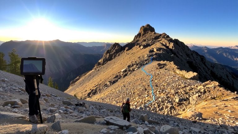
Layer USFS/USGS topo with Sentinel 2 and SNOTEL data, shade 30° slopes for avalanche zones, and build a Munter Method travel plan with break tags. See the step-by-step CalTopo workflow.