How to Identify Seasonal Trail Closures in National Forests
Check the Forest Service website and download the current Motor Vehicle Use Map (MVUM) to confirm legal trail access dates for ATVs, OHVs, and motorcycles. Call your local ranger district for real-time updates on closures like NFSR 507.1E or Kauffman Creek, and always verify with trailhead signs before riding. Follow Forest Service social media for alerts on seasonal or storm-related closures. You’ll also get details on fire damage, like on Gold Run 190.1, and exact open-close windows, such as Tom Blake’s November 23 to June 21 closure-plus what comes next.
We are supported by our audience. When you purchase through links on our site, we may earn an affiliate commission, at no extra cost for you. Learn more. Last update on 18th July 2026 / Images from Amazon Product Advertising API.
Notable Insights
- Check the Forest Service website for official seasonal trail closure updates and Motor Vehicle Use Maps (MVUMs).
- Use MVUMs to verify legal trail access, including designated open and closed dates for motorized use.
- Call the local ranger district for real-time closure information and access restrictions due to damage or private land issues.
- Review trailhead signs before riding, as they display current, on-the-ground closure notices and updates.
- Follow Forest Service social media accounts for timely alerts about seasonal, emergency, or unexpected trail closures.
Check the Forest Service Website for Seasonal Trail Closures
While you’re planning your next ride or backpacking trip, start by checking the Forest Service website-it’s the most reliable source for up-to-date seasonal trail closures and access details across national forests. You’ll find Motor Vehicle Use Maps (MVUMs) listing exact open and closed dates for trails and roads. For example, in the White River National Forest, Government Trail & Anaerobic Nightmare are closed November 23 to June 28. The Arapaho and Roosevelt National Forests note seasonal trail closures like Cabin Creek (112) and Trail Creek (116.1) shut from June 15 to November 15. Sulphur Ranger District updates show Gold Run (190.1) closed in 2025 due to fire damage. Boulder Ranger District posts anticipated openings, like Coney Flats and Middle Saint Vrain roads expected June 15. Always verify trail status on the Forest Service site before heading out-you’ll save time, protect gear, and ride with confidence.
Use Motor Vehicle Use Maps to Verify Legal Trail Access Dates
Since you’re planning a ride on public lands, you’ll want to grab the latest Motor Vehicle Use Map (MVUM) to confirm exactly when and where you can legally ride-this isn’t just helpful, it’s required. The Motor Vehicle Use Map is your official guide within the National Forest System, showing only routes open to ATVs, OHVs, and motorcycles, plus exact seasonal closure dates. For example, in the White River National Forest, bikes are banned on Smuggler Mountain / Hunter Creek from November 23 to May 22, and the Tom Blake & Sequel Trails close November 23 to June 21. These details matter-riding closed trails risks fines and damage to sensitive habitats. Always check the specific MVUM for your destination, like the Arapaho and Roosevelt National Forests’ online version, to verify legal access and stay compliant.
Call Your Local Ranger District for Real-Time Closure Updates
| Trail | Reason for Closure | Contact District |
|---|---|---|
| NFSR 507.1E | Private land access | Boulder Ranger |
| Kauffman Creek | Washout | Sulphur Ranger |
| Tom Blake Trail | Seasonal (Nov–Jun) | White River NF |
Confirm dates for NFSR 286–288 and single tracks (836/837/843), which stay closed year-round to motorized use. Always call ahead-information changes fast, and the right call keeps your ride legal, safe, and on track.
Check Trailhead Signs for Current Closure Notices
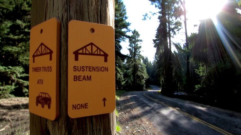
After you’ve called your local ranger district and confirmed the latest updates, the next smart move is checking trailhead signs the moment you arrive-they’re your final, real-time checkpoint before hitting the trail. In every National Forest, Trailhead Signs post current closures like the Government Trail & Anaerobic Nightmare route, closed November 23 to June 28 in White River National Forest. You’ll also see dates for seasonal restrictions, such as Tom Blake & Sequel Trails shutting down until June 21. Some signs note segment-specific limits, like Eastern Tom Blake closed April 25–June 20. Motor vehicle use rules are clear too-bikes banned on Smuggler Mountain / Hunter Creek routes through May 22. If fire or washouts changed access, like Gold Run (190.1) after the East Troublesome Fire, updated Trailhead Signs reflect it. Always read them-they’re your last word on where you can ride, hike, or roll safely.
Follow Forest Service Alerts on Social Media
Why wait until you’re on the trail to find out it’s closed? The Forest Service posts real-time updates on seasonal trail closures through official social media accounts, so you can plan ahead. You’ll get the latest on closures like Tom Blake & Sequel Trails (Nov 23–Jun 21) or unexpected shutdowns such as Kauffman Creek (121.1) due to 2025 washouts. Ranger districts-Sulphur, Boulder, and others-use social media to alert riders about temporary restrictions, including Lefthand OHV Area closures affecting NFSR 286/287/288 and single track 836/837/843. Motor Vehicle Use Maps (MVUM) changes, like BLM’s Dec 1–Apr 15 limits, are also shared fast. Following the Forest Service on platforms like Twitter and Facebook keeps your rides safe and legal. It’s a simple step that saves time, gear, and energy-no more showing up to blocked gates or damaged trails.
Understand Why Seasonal Trail Closures Happen
When trails shut down seasonally, it’s usually to protect both the environment and your riding experience, so don’t think of closures as hassles-they’re practical measures that keep trails rideable year after year. Seasonal trail closures in National Forests help prevent erosion, protect wildlife, and guarantee safer conditions once paths reopen. Many closures align with ecological needs, like avoiding disturbance during breeding seasons or letting trails dry after snowmelt. You’ll see routes like Buffalo Creek (NFSR 108.1) remain open but unmaintained in winter, demanding fat tires or microspikes for traction. Below are common reasons and trail examples:
| Reason | National Forest Example | Closure Period |
|---|---|---|
| Wet conditions | White River NF | Nov 23 – May 22 |
| Spring runoff | Government Trail | Through June 28 |
| Fire recovery | Gold Run (190.1) | 2025 extended closure |
Understanding these patterns helps you plan smarter rides and pack the right biking gear.
On a final note
Always check the Forest Service website, MVUM maps, and trailhead signs to confirm access dates, then call your ranger district or follow social media for real-time updates, since closures protect wildlife, prevent erosion, and keep trails rideable; pack a reliable GPS, durable rain shell, and insulated hydration bladder, keep tire pressure at 25–30 psi on rocky descents, and stash a 10L pack with first aid, traction pads, and extra layers for sudden alpine shifts.