How to Use Rainfall Data to Predict Trail Drying Times
Go beyond forecasts: discover how satellite rainfall data reveals when trails dry—and why some stay muddy no matter what.
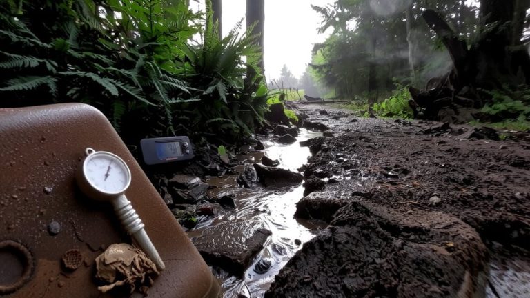
Go beyond forecasts: discover how satellite rainfall data reveals when trails dry—and why some stay muddy no matter what.
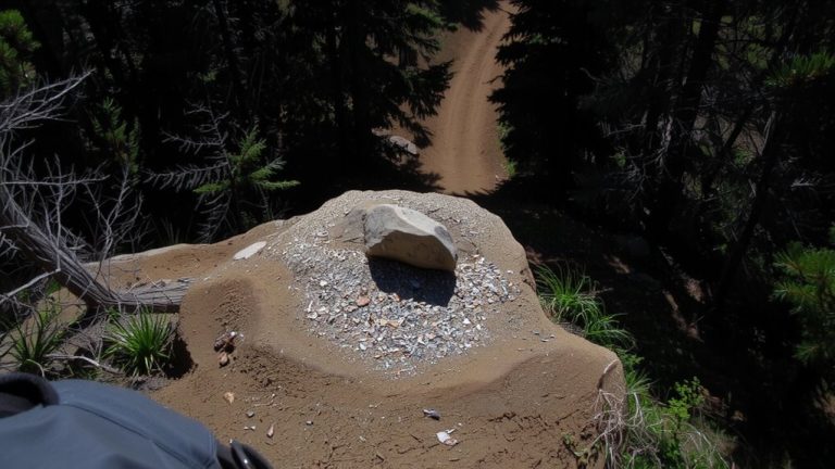
Spot dirt clearings, tree-line breaks, and faint paths using Google Maps Satellite View, then confirm entrances with the Measure distance tool (30-50 ft from roads). Try the method now.