How to Use Weather Forecasts to Avoid Riding During Flash Flood Risk
Check flash flood warnings on NOAA Weather Radio and the NWS Rivers & AHPS page before every ride, especially near CR2350 or Pevehouse Rd., where flooding happens 30+ times a year, and use MRMS for live rainfall updates every 2 minutes across 11 million U.S. grid points, so you’ll know rising water is coming before you hit the trail, and remember-6 inches of moving water can take out a rider, so when skies darken or debris flows start, turn around, and keep your boots, bike, and pack high and dry. There’s more you’ll want to know about staying ahead of sudden surges.
We are supported by our audience. When you purchase through links on our site, we may earn an affiliate commission, at no extra cost for you. Learn more. Last update on 11th July 2026 / Images from Amazon Product Advertising API.
Notable Insights
- Check NOAA Weather Radio and Flash Flood Warnings from the National Weather Service before riding.
- Use real-time MRMS rainfall data to identify developing flash flood threats in your area.
- Monitor AHPS river gauges and 72-hour hydrographs to track rising water levels and flood trends.
- Avoid known flood-prone roads like CR2350, Pevehouse Rd., and SH-51 during heavy rain or warnings.
- Heed on-site signs such as sudden runoff, darkening skies, and debris flow by moving to higher ground.
Check Flash Flood Warnings Before You Ride
Ever wonder how to stay safe when a sudden storm rolls in? Always check for a flash flood warning issued by the National Weather Service before hitting the trail. These warnings mean flooding is happening or imminent, so you need to move to higher ground fast. Use NOAA Weather Radio or the NWS Rivers & AHPS page to track real-time river levels and flash flood potential. Even six inches of moving water can carry away an adult, making low-water crossings risky. The FLASH system updates every 2 minutes with rainfall data across nearly 11 million U.S. grid points, giving you precise threat info. Watch for warning signs like darkening skies, sudden runoff, or debris flow. If a flash flood warning is active, don’t ride-postpone or reroute. Your rain jacket and bike won’t protect you from powerful currents, so stay informed, stay alert, and always prioritize safety.
Know Your Local Flood Danger Zones
Where are you most at risk when thunderstorms hit nearby? In Osage County, low water crossings like CR2350 and CR2466 flood fast-TADD signs warn you, but you’ve got to act. Pevehouse Rd. in Crawford County floods 30–40 times a year, trapping riders and delaying help. SH-51 west of McAlester? It’s a known flood zone with TADD alerts since 2010. These are flooded locations where flash floods rise quick, often with little warning. You’ll see the water level surge in minutes, especially near burn scars, steep slopes, or paved urban areas where runoff races. Flash floods happen faster in crusted or saturated soil, turning dry creeks into deadly channels. Always scout your route: know where flood waters tend to pool and plan escape to higher ground. Don’t test your rain gear or bike’s clearance-respect flood signs, trust local history, and ride smart.
Use MRMS and AHPS for Live Flood Data
You already know to avoid trouble spots like Pevehouse Rd. or CR2350 when storms roll in, but real-time data takes your safety a step further. Use MRMS and AHPS to track flash flooding risks as they unfold. MRMS shows live rainfall estimates every 2 minutes, helping river forecast centers issue timely Flash Flood Warnings. AHPS pairs that with real-time water levels from 8,000+ USGS gauges and 72-hour hydrographs, so you see rising water before you ride.
| Tool | What It Tells You |
|---|---|
| MRMS | Heavy rain in real time, often preceding inches of water in dry washes |
| AHPS | Current river levels and flood stage thresholds |
| Flash Flood Warning | Imminent danger-seek high ground |
| River Forecast Centers | Expert analysis on flash flooding trends |
Combine both tools to dodge danger zones and stay ahead of rising water.
Turn Around at 6 Inches: No Water Is Safe
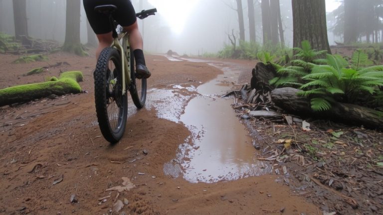
When floodwaters rise, even a shallow six inches can turn deadly fast, so it’s critical to treat all standing water as a hard stop-whether you’re on foot, on a bike, or behind the wheel. Just six inches of moving water can knock you down or stall your car, and it’s not just depth-it’s the hidden risks like washed-out roads or debris. Emergency Management agencies stress the “Turn Around Don’t Drown” rule because you can’t judge current or depth, especially at night. Over half of flood-related drownings happen when people drive into flooded roads, misled by how little rain it took to cause danger. Flood Forecasting helps, but if there’s any water on the trail or road, no amount is safe. A 12-inch surge can sweep away a car, even SUVs. Turn Around at 6 inches-it’s not worth it.
On a final note
Always check flash flood warnings before you ride, especially in canyons or low-lying trails. Use MRMS and AHPS for real-time data, and trust the 6-inch rule-turn around if water’s that deep. Wear quick-dry骑行 gear like Pearl Izumi Attack shorts, pack an OR Nano 10 dry sack, and ride with a Garmin Edge that tracks weather. Stay safe, stay dry, and keep your wheels on solid ground when storms hit-testers say it’s the smartest move.