How to Find Trails With Natural Water Barriers Like Log Crossings
Look for trails in wilderness areas like the High Sierra or ORV routes such as Kane Creek Canyon, where downed logs and snow bridges span creeks after storms. Check topo maps for tight contour lines at narrow stream gaps-GPS coordinates like 36°28.25′ N, 118°24.26′ W pinpoint crossings at Kern River. Use grippy trail shoes with sticky rubber, test snow with trekking poles, and track real-time updates from groups like Elbe Hills Off Road Trails Team-conditions change fast.
We are supported by our audience. When you purchase through links on our site, we may earn an affiliate commission, at no extra cost for you. Learn more. Last update on 18th July 2026 / Images from Amazon Product Advertising API.
Notable Insights
- Check topographic maps for narrow stream gaps where close contour lines suggest potential log or ford crossings.
- Use satellite imagery to identify braided rivers or fallen trees forming natural bridges on trails like the JMT.
- Search hiking forums and social media groups for real-time updates on log crossings and washed-out footbridges.
- Look for trails in areas with downed trees or ORV routes lacking bridges, such as Mono Creek or Kane Creek Canyon.
- Verify current conditions using GPS-tagged photos and recent reports to confirm log stability and water levels.
Spot Log and Snow Crossings in the Wild
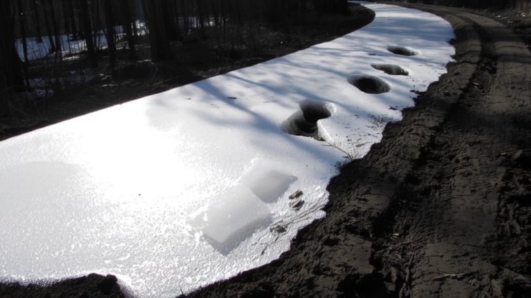
When you’re traversing trail sections without footbridges, keep an eye out for downed trees that stretch across narrow creek channels, like the one hikers regularly use at North Fork Mono Creek, where a sturdy, waist-thick log spans a 5-foot gap over flowing water. These natural log crossings appear after storms or avalanches, often where trees fall across constricted flows, such as at Woods Creek near Sawmill Pass. Scout upstream or braided sections-hikers have used log jams on Taboose Creek during high water years. Always test snow bridges with trekking poles, striking hard to check stability, especially in the Sierra Nevada’s melting snowpack. Snow bridges can hide running water beneath, so probe carefully. Wear grippy trail running shoes with sticky rubber for better traction. Check recent trail reports, like the log near the USGS campsite on Palisades Creek Middle Fork. Know that water flows shift-what’s stable today may rot or wash out tomorrow.
Focus on ORV Trails Without Bridges
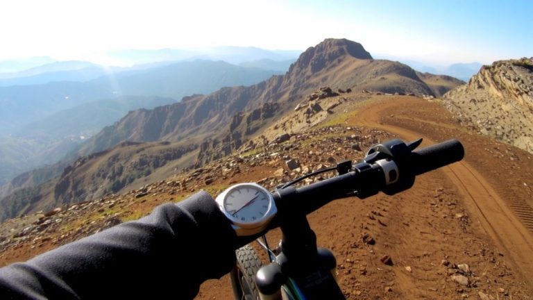
Though you won’t find many engineered bridges on Washington’s ORV trails due to strict environmental rules protecting fish habitats, you can still seek out natural water crossings if you know where to look-like those discussed by members of the Elbe Hills Off Road Trails Team, a public Facebook group where riders share real-time updates on passable fords and log spans. Since most ORV trails avoid bridges, log crossings become key route features. Riders report that successful trail navigation often depends on low water levels and recent trail conditions posted by locals. Natural water crossings on routes like those in Kane Creek Canyon or Toquerville Falls are ideal models, where rocky streambeds and fallen timber serve as dependable water crossings. You’ll want aggressive all-terrain tires, at least 12 inches of ground clearance, and waterproof seals on axles. Always scout ahead-these trail sections demand precise throttle control and approach angles over slick, uneven logs.
Scan Maps for Stream Crossings
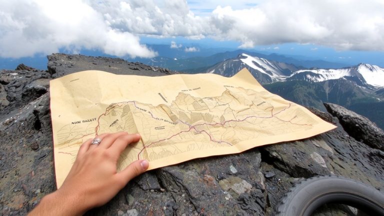
Since water crossings often make or break your trail ride, you’ll want to start by scanning topographic maps for narrow stream gaps where contour lines bunch close together-these tight squeezes usually mean rock-lined fords or log spans like the one at Palisades Creek near the USGS campsite. Use GPS coordinates, such as 36°28.25′ N, 118°24.26′ W, to pinpoint crossings like the Kern River bridge on the High Sierra Trail. Check satellite imagery for braided river sections-Evolution Creek on the JMT shows clear channels ideal for log crossing. Look where tributaries meet main trails, like Woods Creek at Sawmill Pass, where downed trees often form natural bridges. These spots are hotspots for reliable water crossings, especially where topographic maps show tight elevation changes. Always verify with recent data, but when terrain and imagery align, you’ve likely found a solid river passage worth packing your trail-ready boots and lightweight pack for.
Find Recent Reports in Hiking Forums
A quick glance at the Elbe Hills Off Road Trails Team Facebook group could save you a soaked pack and wasted miles-the community’s been active since July 2023, delivering real-time updates on natural water barriers across Washington and surrounding regions. Scour recent reports in hiking forums for details on trail updates, especially where bridges are out. At Palisades Creek Middle Fork, users confirm log crossings now replace the washed-out footbridge near the USGS campsite one mile upstream. Check discussions on the North Fork Mono Creek ford, where hikers compare log crossing difficulty to Bear Creek. For Little Skittles PCT crossing, videos show strong currents navigated using natural log supports. Verify conditions at Kern River (36°28.25′ N, 118°24.26′ W) via posted GPS-tagged photos-some report log crossings near the HST bridge. These hiking forums offer critical insights into current water crossings, so you’re prepared with the right gear and mindset.
Time Your Trip for Low Water
When water levels are at their lowest, your best bet is to cross in the early morning-snowmelt hasn’t built up yet, and flows are typically 20% to 30% lower than afternoon peaks due to the diurnal cycle. To safely cross a river, time your trip after peak snowmelt, ideally avoiding late May through August in high-elevation zones like the High Sierra, where creeks can swell over 6 feet deep. Target years with low winter snowpack, as heavy accumulation plus hot springs create dangerous runoff. Always monitor weather forecasts; rain can spike water levels fast, especially in steep basins. Use real-time reports to assess river crossings on trails near key water sources like Palisades or Rattlesnake Creek, where conditions shift from wadeable to impassable in days. Planning smart means calmer flows, safer fords, and more reliable access to backcountry routes.
Ask Rangers About Current Conditions
You’ve timed your approach for early morning and chosen a low-snow year, but don’t rely on predictions alone-check in with the people who have boots on the ground daily. Rangers in the Sierra Nevada know current conditions better than any app. Call ahead to stations like Kern Ranger Station for real-time updates on water crossings at Rattlesnake Creek, where flow can spike by afternoon. They’ll confirm if log crossings are still in place at North Fork Mono Creek or if the Palisades Creek Middle Fork footbridge has been rebuilt. Ask about trail hazards like discolored water in Evolution Creek-floating debris means high runoff and unsafe fords. Rangers might suggest detours like Paints Pass to avoid a “nasty” Junction Meadow crossing. Verify dangers like the washed-out bridge at Palisades Creek or risky flows at White Fork. Their intel keeps your route safe, smart, and on point.
On a final note
You’ll handle log crossings with confidence by choosing sticky rubber boots, like Salomon X Ultra 4s, and keeping your center low, arms out for balance. Stick to ORV trails on USGS maps where bridges are rare, and check recent forum posts for water levels. Time trips for late summer when creeks drop below 12 inches. Always confirm with rangers-some crossings wash out early. Test your pack’s weight distribution; a 45-liter Osprey with hip stabilizers helps maintain control.