How to Report Dangerous Trail Conditions to Land Managers
Use the official trail name and capture your GPS (like Lat:33.78382, Lon:-117.76202) when reporting hazards. Snap timestamped photos of issues-downed trees, erosion, faded blazes-and include specifics: tree diameter, erosion depth, or sign damage. Submit fast via northcountrytrail.org/report-trail-conditions with your contact info and images. For emergencies-say a downed hiker or wildfire-call 911 and give your distance from a road or trailhead. There’s more where that came from.
We are supported by our audience. When you purchase through links on our site, we may earn an affiliate commission, at no extra cost for you. Learn more. Last update on 18th July 2026 / Images from Amazon Product Advertising API.
Notable Insights
- Report trail hazards using official trail and park names along with precise GPS coordinates for accurate location identification.
- Capture timestamped photos of hazards like downed trees, erosion, or damaged signage from multiple angles to support your report.
- Provide specific measurements for hazards, such as tree diameter or erosion depth, to help prioritize and plan repairs.
- Submit detailed reports through official channels like park websites, ensuring all required fields and GPS data are included.
- Call 911 for life-threatening emergencies, giving your location relative to roads, trailheads, or towns for rapid response.
Pinpoint the Trail and GPS Location
While it might seem obvious, nailing down the exact trail and GPS location goes a long way in ensuring park crews can find and fix hazards fast. Always use the official PARK NAME and TRAIL NAME from the park’s map, not what your hiking app says-commercial apps often show outdated or incorrect trail designations. You’re helping crews save time when you specify the general location too, like “near the Pine Ridge Junction” or “just past the creek crossing.” But don’t stop there-pull up your smartphone’s GPS coordinates (e.g., Lat:33.78382 Lon:-117.76202) to mark the precise spot. Pair those GPS coordinates with the date and time, since most devices log them automatically. This combo-accurate Trail name, clear landmark, and exact GPS coordinates-means faster action. You’re not just reporting a problem, you’re giving land managers the tools to fix it.
Include Photos and Clear Problem Details
Since trail crews can’t always see the issue in person right away, snapping clear, detailed photos gives them the next best thing-real visual proof of what you encountered. When you report trail hazards, include sharp images of downed trees, eroded sections, or faded blazes to aid trail maintenance teams. Capture multiple angles, especially for hazardous blockages, and guarantee photos are timestamped to match your report trail date. Use your smartphone to record GPS coordinates like Lat:33.78382 Lon:-117.76202 for precision.
| Issue Type | Detail to Include | Example Measurement |
|---|---|---|
| Downed Tree | Diameter & obstruction | 18″ wide, blocks 100% width |
| Erosion | Depth & length | 2 ft deep, 15 ft long |
| Sign Damage | Type of damage | Missing, split, or leaning |
| Trail Blaze | Fading level | 70% faded, hard to see |
| Structural Issue | Specific defect | Rotten board, loose rail |
Submit Your Report to the Trail Manager
You’ve documented the trail issues with clear photos and precise details-now it’s time to get that information into the right hands. Submit your Trail Conditions report using the online form at northcountrytrail.org/report-trail-conditions so trail managers can log and address problems quickly. Include GPS coordinates-like Lat:33.78382, Lon:-117.76202-and photos showing eroded sections, blowdowns, missing signage, or illegal ATV use. Note tree diameters and distances from junctions or roads for accuracy. Fill in all required fields: your name, email, email confirmation, and the bot check. For direct contact, email Jenn Ulper, KTA Manager of Trail Maintenance, at [emailprotected] or call 570-854-8316. Clear, detailed reports help trail managers prioritize repairs, keep trails safe, and maintain sustainable access for hiking, biking, and backpacking.
Call 911 First for Emergencies
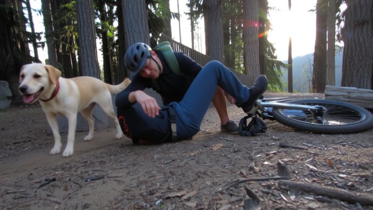
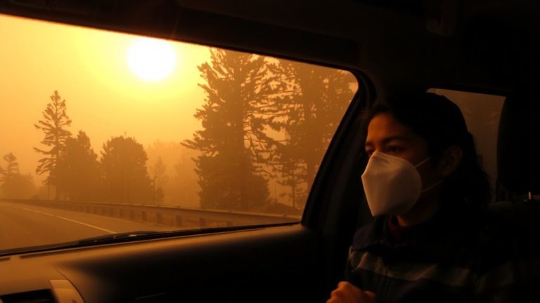
If you come across a dangerous trail condition that puts lives at risk-like a downed hiker, wildfire, or violent encounter-call 911 right away, even if you’re deep on the North Country National Scenic Trail. Don’t wait, and don’t assume someone else will. Help us keep everyone safe by giving dispatchers clear details: your distance from the nearest road, trailhead, town, or major landmark, plus the county if possible. Avoid Trail mileage markers-most dispatchers aren’t familiar with them. Use recognizable geographic references instead. No cell service? Text a friend to call 911 or trigger the SOS on your InReach or personal locator beacon. If needed, hike toward the nearest road crossing, using side trails to gain signal. Every minute counts. Your quick action protects hiker safety and upholds our shared RIGHTS RESERVED to enjoy the trail responsibly.
On a final note
Always report trail hazards fast-pinpoint the spot with GPS, snap clear photos, and send details straight to the land manager. For emergencies, call 911 first. Wear durable trail runners like the Salomon Speedcross 5 for grip, pack a lightweight Osprey Talon 22 with a hydration sleeve, and ride with a Bell Super 3 helmet. Real testers log 50+ miles on these, praising their fit, breathability, and storage. Stay safe, stay prepared.