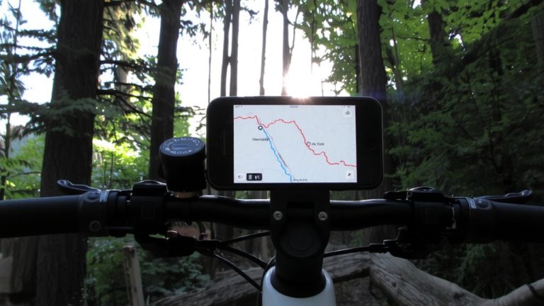
How to Plan a Route That Includes Designated Bike Parking
Start by using Google Maps’ bicycling layer to find protected lanes and routes near your destination, then switch to Street View to spot U-shaped racks near entrances. Confirm parking with Strava heatmaps where cyclist density clusters, cross-referencing with satellite imagery. Visit the spot during commute hours to test lighting, ADA access, and rack count-secure, visible placement near transit or libraries is ideal. You’ll see exactly how these steps fit together with real-world examples.
We are supported by our audience. When you purchase through links on our site, we may earn an affiliate commission, at no extra cost for you. Learn more. Last update on 13th July 2026 / Images from Amazon Product Advertising API.
Notable Insights
- Use Google Maps’ bicycling layer to identify protected lanes and routes near your destination.
- Verify bike rack availability by using Street View to spot U-racks near entrances and transit hubs.
- Check Strava heatmaps to find clusters where cyclists frequently end rides, indicating potential parking spots.
- Cross-reference heatmap data with satellite and Street View imagery to confirm rack presence and avoid false positives.
- Conduct on-site visits during commute hours to assess rack safety, accessibility, lighting, and surrounding bike infrastructure.
Find Essential Endpoint Facilities Before You Ride
Where will your ride end, and more importantly, is your bike going to be safe? When route planning, always check your endpoint for essential facilities. Use Maps’ bicycling layer to spot bike lanes and confirm secure bike parking at destinations like transit hubs, parks, or libraries. Street View helps you preview racks at schools or community centers-no surprises when you arrive. Cities like San Francisco and Nashville offer public racks, some even installable near your home. A solid Route includes spots with shelters, restrooms, and showers, making a rest stop actually invigorating. Look for city-sponsored bike parking at churches or commercial zones; they’re reliable and free. Don’t assume parking exists-verify it. Secure parking means peace of mind, especially on multi-day rides or Bike to Work Day. Planning ahead keeps your bike safe and your ride stress-free.
Use Google Maps to Locate Bike Parking Near Trails
Don’t count on Google Maps to show you where bike racks are, even with the bicycling layer turned on-those handy U-shaped stands are missing from the app’s trailhead views. While Google Maps highlights the Bike Network with solid green lines for protected lanes and dotted lines for bike routes, it doesn’t mark parking spots. You can plan your ride using Maps biking directions and set accurate start and end points, but don’t assume racks are there. Check the bike map carefully: trails like Richland Creek Greenway appear, but nearby bike parking isn’t guaranteed. Use Street View manually to scout U-shaped racks near trail entrances. In cities like San Francisco, public racks exist but aren’t synced to Google Maps. For a stress-free ride, verify rack locations through local data, not just the app. Planning around real infrastructure keeps your bike secure and your ride smooth.
Confirm Parking Availability With Street View and Cyclist Heatmaps
While apps can guide your route, they won’t always show where you can safely lock your bike, so you’ll want to take a closer look using tools like Google Street View and cyclist heatmaps. Use Street View to spot designated bike racks-look for metal U-racks or loops bolted to sidewalks. Pair this with Ride with GPS or Strava heatmaps to see where riders consistently end trips, indicating reliable parking. Cross-check heatmap clusters with satellite views to confirm rack presence and avoid false positives. In dense areas, expect multiple racks near transit hubs or commercial zones where bike lane networks converge.
| Tool | Purpose | Pro Tip |
|---|---|---|
| Street View | Verify bike racks visually | Look for recurring rack patterns near entrances |
| Ride with GPS | Track cyclist endpoints | Match heatmap stops with rack locations |
| Bike Maps | Overlay parking data | Use with mapping tools for precise Route Planning |
Visit and Test Access in Person for Safety and Convenience
How confident are you that your route actually delivers a safe, convenient place to lock up? You can plan a bike trip online, but nothing beats a visit and test to truly feel safe. Walk or ride the final stretch-does the road look calmer than expected, or are vehicle volumes high with faded lane markings? On neighborhood streets, note how many people ride and whether protected lanes exist. Check if racks are near entrances, ADA-compliant, well-lit, and not blocked. Test access during your commute time; are shelters, restrooms, or water fountains nearby? A site visit reveals if there are enough racks-for groups, aim for 5–10 per major stop. You’ll spot hazards apps miss, like poor sight lines or dim lighting. Only then can you feel safe, knowing your ride truly ends with convenience and security right where you lock up.
On a final note
You’ve mapped your route, found secure bike parking near the trailhead, and checked access with Street View and local heatmaps-now pack light: a 20L hydration-compatible pack, padded waistbelt, and locking U-lock (14mm shackle, 8-inch width) for peace of mind. Test the approach on foot; note curb cuts, lighting, and sightlines. Stick to paved shoulders where possible, wear high-vis gear (reflective 360° ankle bands help), and carry a 1,000-lumen front light.