How to Find Mountain Bike Trails With Water Crossings for Advanced Riders
Use komoot or Trailforks to filter S3–S6 trails like the 48.9 km Daniels Singletrack loop, checking recent reports for thigh-deep flows after rain. Target Patapsco Valley or St. Mary’s River Park #27 for slick rock gardens and 2×12 board fords. MTB Project shows user photos of stream crossings on the Lost Lake loop. Local riders at Schaeffer Farms know hidden drops. Wear grippy 2.4″ Maxxis Minions, expect submerged rocks, and balance momentum-there’s more to mastering technical fords.
We are supported by our audience. When you purchase through links on our site, we may earn an affiliate commission, at no extra cost for you. Learn more. Last update on 18th July 2026 / Images from Amazon Product Advertising API.
Notable Insights
- Use trail apps like komoot and Trailforks to filter advanced trails with technical water crossings in Patapsco Valley and surrounding areas.
- Check recent user reports on MTB Project and Ride with GPS for current water levels and active stream crossing conditions.
- Target expert-rated loops such as Daniels Singletrack and Lost Lake, known for challenging, flow-dependent creek fords.
- Seek real-time beta from local riders at trailheads like Schaeffer Farms or through app-based mountain biking communities.
- Prioritize parks with built-in water features like St. Mary’s River Park and Gwynns Falls, which include slippery log and rock crossings.
Find Advanced Trails With Water Crossings Using Trail Apps
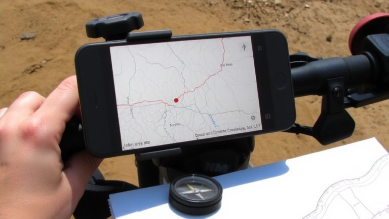
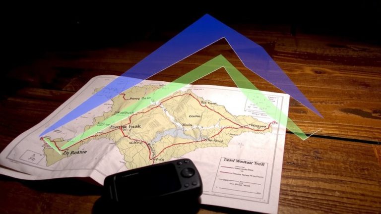
While you’re planning your next ride, tapping into trail apps can make all the difference when hunting for advanced water-crossing routes that challenge your skills and gear. With komoot, filter mountain bike trails in Maryland by difficulty (STS S3–S6) and try the Lost Lake loop from Patapsco Woods-it’s rated Hard, gains 700 ft, and includes technical water crossings. On Trailforks, search advanced trails in Patapsco Valley State Park and use GPS overlays to spot creek fords on the 48.9 km Patapsco River Bridge – Daniels Singletrack loop. MTB Project lets you filter for Expert-level trails near Avalon or Daniels; check user photos tagged “stream crossing” on loops like Morning Choice Trailhead – Lost Lake. Ride with GPS shows elevation profiles and route notes for technical stream crossings on the 7.2–7.5-mile St. Marys Lake Loop, featuring packed sand and roots. Use Trailheads app for real-time updates on water depth, especially after rain on Gunpowder Falls’ multi-use paths.
Pick Trails With Recent Flow for Real Water Crossings
When you’re chasing real water crossings that test your line choice and bike handling, trails with recent flow turn a simple creek ford into a dynamic challenge, and spots like the Lost Lake loop in Patapsco Woods deliver just that-especially after rain, when thigh-deep flows cross the S3-rated singletrack near the 0.8-mile mark, demanding a steady line over slick stones and embedded roots. You’ll find similar mountain stream crossings on the Avalon Area’s Morning Choice loop, where the Patapsco River swells post-rain, and on the St. Marys Lake Loop, where log piles and 2×12 boards get slippery under seasonal flow. Daniels area trails also ramp up with summer rain, creating fast, rocky creek fords. For real action, check Trailforks or komoot to confirm current water levels-recent user reports help you pick active, technical mountain trails with true stream crossings that demand skill, the right line, and a well-tuned full-suspension rig.
Target Parks Known for Natural Stream Crossings and Rock Gardens
You’ve already dialed in how recent rain transforms creek crossings into technical tests of balance and precision, but now it’s time to focus on the parks that deliver these features consistently, with natural stream fords and rock gardens built into their trail DNA. Patapsco Valley State Park is a go-to, where the Daniels Single Track loop (48.9 km) and Avalon Area trails combine slick, algae-covered rock gardens with fast-moving water, demanding momentum and attack position control. The Lost Lake loop from Patapsco Woods packs multiple hidden rock hazards under shallow flow, perfect for experienced riders refining line choice. Gwynns Falls/Leakin Park’s 13-mile route adds dense urban woodland context, with rocky riverbeds and shifting currents. At St. Mary’s River Park, #27 in Maryland, white-blazed trails lead to 2×12 board fords and log pile beams, testing precision mid-flow.
Ask Local Riders for Hidden Water Crossing Routes
Since the best water crossings rarely show up on official maps, talking to riders who log weekly miles in places like Patapsco Valley or Fountainhead Regional Park is your fastest way to find them. Connect with local Mountain Biking crews through Trailforks or Komoot, where riders share beta on technical routes like Charlie’s 9K or the Daniels Singletrack loop at Valley State Park. Weekend trailheads, like Schaeffer Farms or St. Marys Lake Loop, are hotspots for real-time advice on balancing over log piles or hitting rock gardens with 2×12 boards.
| Location | Insider Tip |
|---|---|
| Patapsco Valley State Park | Daniels loop has three rapid crossings, best with 2.4” tires at 28 psi |
| Fountainhead | Attend group rides to find hidden black diamond stream drops |
| Schaeffer Farms | Talk to riders about unmarked rock garden approaches |
| St. Marys Lake | Locals reveal log-balancing sequences after heavy rains |
Know Why Water Crossings Are Hard for Experts
Though they’ve mastered rock gardens and drop-offs, even seasoned riders can get humbled by water crossings, where hidden algae-coated rocks and shifting currents turn a quick splash into a technical test, especially when hubs submerge and sediment infiltrates bearings. At your skill level, it’s not just about power or balance-water crossings demand sharp trail reading and split-second adjustments. Hidden hazards like submerged rock gardens or sudden depth changes catch experts off guard, even with grippy 2.4-inch Maxxis Minion tires. Fast currents challenge your body positioning, requiring a light front end and centered weight over the BB. Momentum matters, but so does caution-deep water risks internal damage to headsets and rear derailleurs. Despite advanced skill levels, these aquatic obstacles mix physical demand with mental focus, turning a simple creek into a complex risk-reward line choice.
Evaluate Depth, Current, and Submerged Hazards Before Riding
Staying safe on mountain bike trails with water crossings starts with a quick but thorough on-the-spot assessment-before you roll, take a beat to read the water like a rider who’s learned the hard way. You’ve got to evaluate depth first: if it’s over 6 inches, especially near your hub bearings, you risk mechanical damage and traction loss. Slow down, ditch the pedals, and scan for submerged hazards-rocks hidden under algae can deflect your wheel or pitch you over. Watch the current, too; fast-moving water in valley streams makes staying upright tough, even on grippy 2.4-inch all-terrain tires. If the trailbed’s invisible, shoulder your bike and walk. Pick a clear line across, aiming for stable exit points with packed gravel, not slick stones. Smart riders use this routine every time-it keeps you upright, protects your drivetrain, and keeps the ride going.
Ride Fast, Deep, and Rocky Crossings Safely
When you’re staring down a fast, deep, and rocky water crossing, especially one like the thigh-high descent near mile 5 of the Lost Lake loop in Patapsco Woods, your best move is to commit with momentum and the right body position. Stay in the attack stance-elbows up, weight back, pedals level-to keep your front wheel light over hidden rocks. With water near hub depth, your trail best bet is a full-suspension bike with wide, aggressive tires to maintain grip. Rocky, algae-slick beds demand precise line choice, especially on trails like those in places like Fountainhead, where miles of trails feature swift valley crossings. Boost exit speed with hard pedaling to fight current drag, particularly on the Avalon Area – Morning Choice Trailhead loop. For STS S3–S6-rated sections, if water’s moving fast and hides the bottom, shoulder your bike. Always scout first-safety trumps speed.
On a final note
You’ve got the tools to find advanced water crossings-use Trailforks to locate technical trails with recent flow reports, like those in Moab or Whistler. Wear waterproof mountain bike boots, like Shimano ME7s, and run tubeless tires at 28–30 psi for grip. Testers say approach fast, stay light on the pedals, and pick lines over rocks. Always scout depth-anything above 14 inches needs a solid run-up. Ride smart, stay dry, and conquer every crossing confidently.