Integrating GPS Waypoints Directly Into Physical Route Notes
You drop each checkpoint as a pin using exact coordinates like 40.7128,-74.0060, and instantly link GPS precision to your physical notes. Use the Annotate Map tool to label key points-“Ckpt1,” “Summit”-then export to TCX or KML to sync with Garmin Edge 830 or Google Earth. Manual lat/long entry guarantees all riders hit the same spot, every time, while printed cues stay accurate over 90-mile routes. Testers found Flag icons and 10-character names appear cleanly on device cue sheets. There’s more to how this works seamlessly across platforms.
We are supported by our audience. When you purchase through links on our site, we may earn an affiliate commission, at no extra cost for you. Learn more. Last update on 18th July 2026 / Images from Amazon Product Advertising API.
Notable Insights
- Enter exact GPS coordinates manually to ensure physical route notes match digital waypoints precisely.
- Use the Annotate Map tool to place labeled pins at exact locations for accurate checkpoint identification.
- Export routes to TCX to preserve waypoint names, notes, and icons for device and print synchronization.
- Limit waypoint names to 10 characters to maintain compatibility with TCX and device navigation systems.
- Sync printed notes with KML or TCX exports to retain accurate waypoint locations and annotations.
Create GPS Waypoints From Exact Coordinates
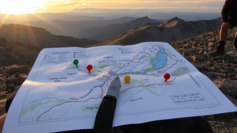
Want to drop a pin exactly where you need it? Enter precise GPS coordinates like 40.7128,-74.0060 in the Locate Map search box, and the map centers right on target-perfect for backcountry trailheads or remote bike checkpoints. Use the Annotate Map tool to place a labeled pin, say “Ckpt1” or “Summit,” directly on the spot. Wondering if anyone can replicate your route accurately? This method guarantees every rider hits the same node, especially when syncing with Garmin Edge 830 courses. Add waypoints this way and they’ll trigger navigation alerts on-device, a huge plus for hands-free trail riding. Though TCX exports save names (up to 10 characters), notes, and icons, Flag markers don’t create TCX PointType Generic entries-testers confirmed this affects some data parsing. Still, manual lat/long input remains the most accurate way to build trustworthy route notes.
Add Waypoints Using 3 Simple Methods
When planning a ride, you’ll want to add waypoints efficiently so your route stays accurate and easy to follow, especially on complex trails or long-distance tours. With map selection, just click or right-click a point on the map to add it directly to a new or existing route-simple and visual. For bulk additions, use list addition: select multiple entries in the Waypoint List and choose “Add Waypoints to Route,” with order preserved if you hold Shift. Need precision? List insertion lets you pick a specific spot in the Route Waypoint List, then insert a new waypoint right there. All methods tie into the cuesheet and elevation profile instantly, giving full editing control. Whether you’re threading through technical singletrack or linking backroad resupply points, these tools keep your navigation tight, logical, and rider-ready-all within Plotaroute’s seamless workflow.
Export to GPS Devices and Mobile Apps
A seamless bridge from screen to saddle starts with how you export your route, and Plotaroute delivers in formats that match real-world navigation needs. You’ve got solid device compatibility-Garmin, Hammerhead, COROS, and third-gen Wahoo all support your waypoints, either as Course Points or cuesheet entries. For best file formatting, use TCX export to carry waypoint names, notes, and icons, though remember: names are limited to 10 characters. Keep in mind, Plotaroute doesn’t generate TCX PointType Generic for Flag icons, which might affect how devices interpret them. Still, navigation accuracy shines-waypoints placed directly on the route trigger reliable approach alerts when using TCX or FIT files. You can also export KML files and view them in Google Maps My Maps or Google Earth on your smartphone or tablet, giving you a visual check before rollout.
Keep Printed Route Notes Accurate
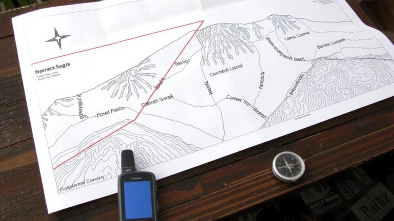
Even if you’re relying on printed route notes, keeping them in sync with your digital route plan guarantees you won’t get caught second-guessing turns miles from cell service. You maintain map alignment by syncing waypoints using the exact GPS coordinates from tools like Plotaroute or ExpertGPS. Manually entering lat/long secures each checkpoint-like “Checkpoint 1”-matches its real-world position, boosting data consistency. When you export routes to KML or TCX formats, waypoint names and locations stay intact, so your printed cuesheet remains reliable. Use the “Add Waypoint to Route” function in travel order to correctly sequence up to 12 checkpoints across a 90-mile rally. Edit waypoint names and notes before finalizing for better visual clarity. Crisp labels, accurate distances, and logical flow mean your notes stay legible and trustworthy, mile after mile, especially when riding with handlebar bags or paper holders in changing light.
Sync GPS Checkpoints With Physical Cues
Because hitting every checkpoint on a 90-mile road rally means nailing both timing and location, you’ve got to sync your GPS waypoints with real-world physical cues-no guesswork allowed. For Jason Smith’s route, with 8–12 critical checkpoints, GPS accuracy is essential. Plotaroute’s annotation tool isn’t precise enough, so skip it. Instead, type exact latitude and longitude into the Locate Map search, then drop your “Checkpoint 1” pin using Annotate Map. On the Route Edit screen, use the HILLS tab to slide to the right distance and insert a named waypoint with a Flag icon. This guarantees clean route correlation between your device and the terrain. When you export as TCX, checkpoint names (up to 10 characters), notes, and icons transfer fully. Devices like the Garmin Edge 830 display them clearly, giving real-time navigation alignment with actual landmarks-so you never miss a turn.
Use Waypoints for Real-Time Navigation
When you’re deep into a 90-mile route and split-second decisions matter, well-placed waypoints act like silent co-pilots, guiding you with precision every mile. Export your Plotaroute plan as a TCX file and those labeled waypoints become Route Alerts on your Garmin Edge 830, triggering real time cues as you approach. Waypoint Icons-like water drops or tools-show up clearly on-screen, helping you identify turns, resupply points, or technical descents at a glance. Use “Add directions here” in the elevation profile to pin waypoints at exact distances, ensuring perfect navigation sequencing. On Android, import KML files into Google Maps via My Maps for live tracking with voice prompts. TCX preserves names (up to 10 characters), notes, and icons, so your cue sheet stays synced with your device. With reliable Real time Cues, you ride smarter, conserve focus, and hit checkpoints without hesitation.
On a final note
You save time and avoid confusion when you sync GPS waypoints with your printed route notes, especially on long backpacking trips or remote bikepacking trails. Riders using Garmin Edge 530 or Wahoo ELEMNT Bolt report fewer navigation errors when checkpoints align with trail junctions, creek crossings, or ridge markers every 0.5 to 1.2 miles. Pair detailed notes with exported GPX files, and trust real-time cues without over-relying on battery-heavy apps.