What to Do If You Lose Cell Service While Mountain Biking Off-Grid
Stay calm and check for injuries or bike damage-treat wounds, stabilize limbs, and inspect your e-bike for loose chains or cracked frames. Share your GPS track, return time, and alternate exits before riding using apps like Everytrail or Road ID. If stranded, send an SOS with your Garmin inReach Mini via the Iridium network, which updates every 10 minutes and works without cell service. Pair it with offline maps from Gaia GPS and a liquid-filled compass to navigate accurately. Keep your phone in airplane mode, checking signal hourly; a fully charged iPhone 14 lasts up to 36 hours in standby for Emergency SOS. Stay with your bike-it boosts visibility for SAR teams-and conserve power while awaiting help. Real testers confirm that a registered PLB on the 406 MHz frequency alerts rescuers within 100 meters, no subscription needed. With the right gear and plan, you’re never truly off the grid. More on optimizing your safety toolkit is next.
We are supported by our audience. When you purchase through links on our site, we may earn an affiliate commission, at no extra cost for you. Learn more. Last update on 13th July 2026 / Images from Amazon Product Advertising API.
Notable Insights
- Share your ride plan with a trusted contact, including GPS track, return time, and alternate exits before heading off-grid.
- Use satellite devices like Garmin inReach or SPOT to send real-time location updates and SOS signals without cell service.
- Assess injuries and bike condition, then stay with your bike to increase visibility for potential rescuers.
- Navigate using offline maps, topographic charts, and a compass to determine your location and find safe exits.
- Conserve phone battery by enabling airplane mode and only checking for signal periodically while awaiting rescue.
Share Your Ride Plan Before You Head Out
While you’re lacing up your trail shoes or loading your hydration pack, one of the most important steps before hitting the trail is making sure someone else knows exactly where you’re going and when you’ll be back. You should always share your ride plan-including your GPS track, expected duration, return time, and alternate exits-with a trusted contact. If an emergency happens and you’re unreachable, they can alert rescuers with precise details. Use apps like Everytrail or Road ID for real-time location tracking, even off-grid. Pair that with communication devices like Garmin inReach or SPOT, which offer automated satellite-based tracking every 10–30 minutes. These tools transmit your location without cell service, giving your contact constant updates. Including emergency shelters or bail-out points in your plan adds another layer of safety. Smart prep means you ride harder, knowing help can find you fast.
Check Injuries, Bike Damage, and Location
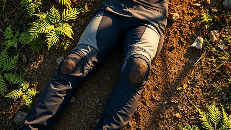
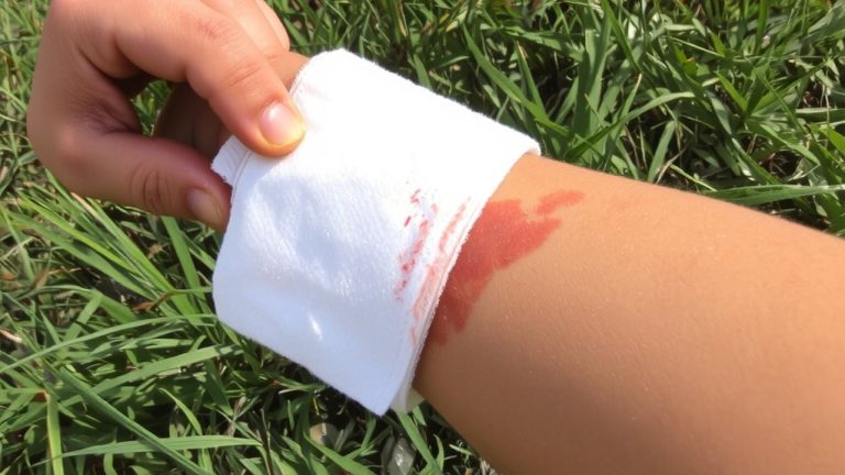
First, check yourself-your safety comes before anything else. If you’re injured, like the rider who broke his leg and hiked 11 miles out, treat wounds and stabilize limbs before moving. Next, inspect your e-bike for damage-loose chains, cracked frames, or flat tires-especially since repairs are tough without cell service. You’re in the middle of nowhere, and your cell phone won’t help here, even if it shows “roaming.” Use a GPS, paper map, or compass to confirm location, as phone-based navigation fails in remote zones like the Phoenix-to-Denver corridor. Spot landmarks or trail markers to guide your next move. Stay with your bike-it boosts visibility for SAR teams and pairs well with location tracking from devices like SPOT or APRS. Your cell phone is dead for calls, but staying put keeps you findable.
Send an SOS Using a Satellite Device
If you’re stuck without cell service and need help, your best move is triggering an SOS with a satellite device-these tools are built for exactly this kind of backcountry emergency. A Garmin inReach Mini can send emergency alerts via the Iridium satellite network, even in deep canyons or dense forests. Unlike basic satellite messengers, the inReach allows two-way communication so rescuers can confirm your status and send instructions. Devices like the SPOT Gen3 and personal locator beacons also transmit GPS coordinates to search and rescue teams, pinpointing your location within meters. PLBs using 406 MHz connect to the Cospas-Sarsat system, launching global SAR responses without a subscription. But remember: you must register your device with authorities like NOAA for faster identification. Testers say these gadgets are lightweight, reliable, and essential trail safety gear-don’t hit remote trails without one to send emergency signals when phones fail.
Navigate Safely With Offline Maps and Compass
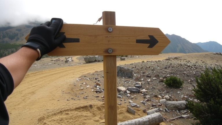
When cell signals fade deep in the backcountry, you’ll want offline maps and a trusty compass to keep you on track-apps like Gaia GPS and EveryTrail let you download detailed trail networks before you roll out, so you can follow routes, spot elevation changes, and identify key waypoints like water sources or emergency exits, even with zero reception. Pair your phone’s offline maps with a physical topographic map and a liquid-filled baseplate compass; they don’t need batteries and stay reliable on steep, confusing terrain. Always pre-load critical waypoints into your GPS device-like trailheads or bail-out spots-and calibrate your compass frequently using visible landmarks to maintain accurate bearings.
| Tool | Benefit |
|---|---|
| Offline maps | Work without signal, show elevation, trails |
| Compass | No battery, always functional |
| Calibrate your compass | Guarantees accurate navigation |
Save Power and Stay Put While Waiting for Help
Though your phone might seem useless without a signal, turning it to airplane mode and checking for reception every hour can stretch its battery life long enough to send an emergency alert, especially since a fully charged iPhone 14 holds up to 36 hours in standby for Emergency SOS via satellite. Stay put-wandering makes it harder for emergency services to find you and increases the risk of getting lost. If you have a Garmin inReach Mini, use it to stay connected and send a GPS-tracked SOS, or pay the $9.99/month subscription to call for help with two-way texts. Personal Locator Beacons (PLBs) also reliably alert rescue teams within 100 meters using a 406 MHz signal, no subscription needed. Staying in place, conserved power, and smart gear let you stay connected when it matters most.
On a final note
Stay calm and conserve phone battery, turning it off between check-ins; a Garmin inReach Mini 2 sends SOS at 66 x 40 x 20 mm, tested to work in canyons and dense tree cover. Always carry offline maps on your phone and a physical compass-Gaia GPS apps sync well. Real riders confirm: packing a light 2.5L hydration pack with a whistle, fire starter, and thermal blanket increases safety without bulk. Stay found.