What Mountain Bikers Need to Know About Trail Closures During Fire Season
Always check trail status before you ride-over 23,000 miles of Western trails have been hit by wildfires like Washington’s 14,000-acre Bolt Creek Fire. Closures keep you safe from falling trees and damaged soil, and ignoring them can bring fines. Use InciWeb, fire.airnow.gov, or PCTA maps to find open routes. If smoke pushes AQI above 150, scale back or swap to indoor training. Riders in Montana or Central Oregon can pivot to cleaner zones like Madras or Oakridge when needed, where shuttles and webcams help confirm conditions-smart planning keeps you rolling safely.
We are supported by our audience. When you purchase through links on our site, we may earn an affiliate commission, at no extra cost for you. Learn more. Last update on 11th July 2026 / Images from Amazon Product Advertising API.
Notable Insights
- Check trail closures regularly using InciWeb or land manager sites before heading out during fire season.
- Avoid closed trails to prevent fines and reduce risks from falling trees and unstable terrain.
- Post-wildfire conditions like damaged soil and hazards can persist long after the fire is out.
- Use real-time tools like Fire and Smoke Map or Open Snow to assess air quality and visibility.
- Relocate rides to cleaner air zones, such as Madras or Oakridge, when smoke levels are high nearby.
Check for Fire-Related Trail Closures
Why risk heading out only to find your favorite trail shut down? With over 23,000 miles of trails damaged by wildfire in the West recently, closures are more common than ever. The 2022 Bolt Creek Fire, for instance, burned 14,000 acres in Washington, closing key sections of the Mt. Baker-Snoqualmie National Forest. Now, hundreds of miles remain off-limits due to unstable terrain and falling trees-real hazards even post-fire. Trails on the west side of the Cascades, once rarely affected, now face frequent fire-related disruptions. Always check for trail closures before riding: use official forest service sites, the PCTA, or fire.airnow.gov’s Fire and Smoke Map. Don’t rely on apps alone-real-time fire updates give the clearest picture. Being informed keeps you safe, saves time, and means you’ll roll on open dirt with confidence, trail closures won’t catch you off guard.
How to Respond If Your Trail Is Closed
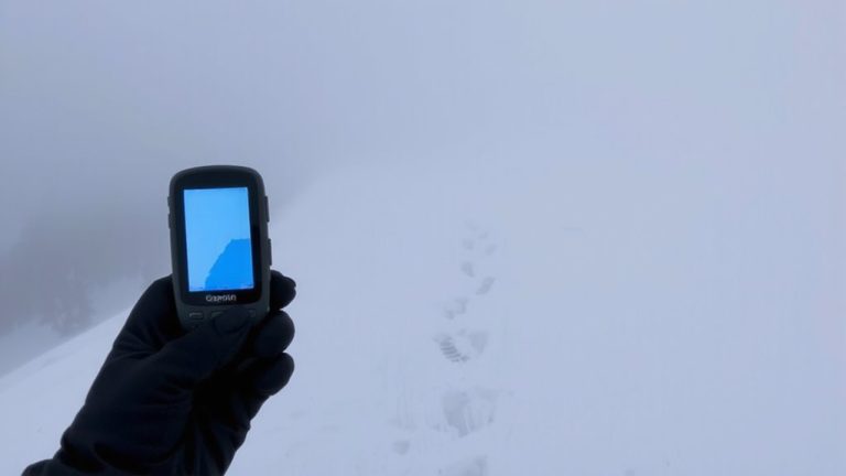
Even if you’ve packed your hydration pack, laced up your trail-ready shoes, and preloaded your GPS with the perfect route, finding your trail closed demands a smart, immediate pivot. Trail closures during wildfire season aren’t just suggestions-they’re enforced for your safety and the land’s recovery. Over 23,000 miles of trails across the West have burned recently, including 14,000 acres in Washington’s Bolt Creek Fire, leaving damaged soil and unstable terrain. Check closures via InciWeb or local land manager sites before rerouting. If the trail’s shut, respect it: fines apply, and reroutes can hinder firefighting. Use your bike computer or Gaia GPS to find open alternatives nearby. Prioritize routes with low fire risk and solid tread, like packed granite or decomposed granite paths. Stay safe by staying informed-your ride, and the forest, depend on it.
How to Ride Safely in Smoke
When smoke from wildfires settles into valleys and clings to mountain ridges, your ride demands extra caution, not just grit. Fire season means smoky skies, and poor air quality isn’t just hazy-it’s hazardous. Check the AQI: if it’s 101–150, shorten or scale back rides; at 151–200, swap trail time for indoor training; above 201, skip outdoor activity entirely. Exercising in smoky skies pulls more PM2.5 deep into your lungs, raising cardiovascular strain. In southwest Montana, these levels often match Los Angeles on a bad day-unhealthy for weeks. Ride early; smoke and ozone build up by afternoon. Use real-time data from AirNow (fire.airnow.gov) or the Wunderground app to see PM2.5 trends and adjust. Protect your lungs, preserve performance, and ride smart-because breathing hard should come from effort, not fire’s aftermath.
Use Real-Time Tools to Find Open Trails
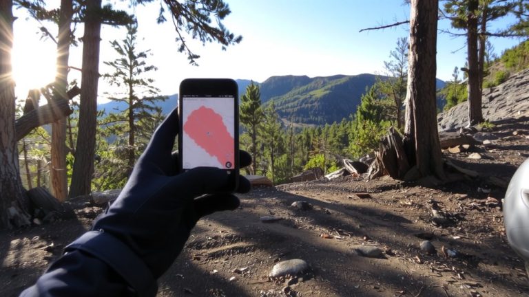
You’ve checked the AQI and decided the air’s rideable for now, but that doesn’t mean the trail ahead is open-fire season shuts down access fast, often with little warning. Use tools like InciWeb and the National Interagency Fire Center to track wildland fire activity and fire suppression efforts across the western U.S. The Fire and Smoke Map (fire.airnow.gov) gives live satellite views, so you can dodge smoke plumes and find open trails. Check the PCTA and CDTC closure maps for reroutes due to wildfire risk. With Mt. Baker-Snoqualmie National Forest cutting 70% of recreation staff in 2025, on-the-ground updates are spotty-don’t rely on posted signs. Open Snow’s map overlays combine AQI and smoke forecasts, pinpointing rideable zones near spots like Bend or Oakridge. These tools help you move fast, stay legal, and keep riding when fire shifts the landscape.
Shift Rides to Cleaner Air Zones
Why ride through hazy, lung-burning air when clearer skies could be just an hour’s drive away? During extreme fire season, shifting your mountain biking routes to cleaner air zones isn’t just smart-it’s essential. When smoke blankets Bend, riders are relocating to the Madras Trail System, just outside Deschutes National Forest, where AQI often stays below 75. Real-time tools like the US Interagency Wildland Fire Air Quality Response Program and Open Snow’s map overlays pinpoint breathable zones, while webcams at Mt. Bachelor confirm visibility. After the 2022 Bolt Creek Fire, many learned the hard way that flexibility saves rides. Guided shuttles in Oakridge still roll during moderate smoke, thanks to cleaner airflow through Willamette National Forest. Pack your hydration pack, grab your helmet, and go where the air’s rideable-your lungs and performance depend on it.
On a final note
Always check real-time apps like Trailforks or local forest service alerts before heading out, since trail closures during fire season change fast. If smoke’s heavy, wear an N95 mask, ride in cleaner air zones, and avoid high-exertion efforts. Carry a 2L hydration pack, like the Osprey Talon 22, with electrolyte tablets. Testers found rides stay safe and enjoyable when you adapt fast, pack smart, and respect closures.